Blackwater Draw Formation
The Blackwater Draw Formation is a geologic formation in the southern High Plains of eastern New Mexico and Texas.[1] The formation was deposited between 1.8 million (Ma) and 300,000 years ago, corresponding to the early to middle Pleistocene epoch.[2]
| Blackwater Draw Formation Stratigraphic range: Pleistocene | |
|---|---|
| Type | Formation |
| Overlies | Ogallala Formation |
| Area | Over 100,000 km2 |
| Thickness | 27 meters (89 ft) |
| Lithology | |
| Primary | Sandstone |
| Location | |
| Coordinates | 33.594°N 101.841°W |
| Region | New Mexico Texas |
| Country | United States |
| Type section | |
| Named for | Blackwater Draw |
| Named by | C.C. Reeves |
| Year defined | 1976 |
 Blackwater Draw Formation (the United States) 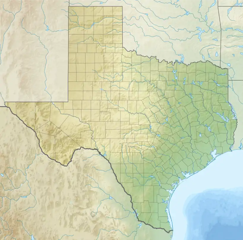 Blackwater Draw Formation (Texas) | |
Description
The formation is a very fine to fine red aeolian sandstone that rests on the resistant caprock calcrete of the Ogallala Formation. The formation is highly variable, but has a maximum thickness of 27 meters (89 ft).[2] The sediments generally are less coarse to the northeast, indicating that they had their source in the Pecos River valley.[3]
The formation is interpreted as loess deposition on a grassland.[2] Deposition was likely episodic, with peak deposition at times of more arid climate and soil formation during moister periods.[3][4]
The lower part of the formation contains an ash bed of the Toledo eruption in the Jemez Mountains[3] 1.61 million years ago (Ma). The formation also contains the 0.62 Ma Lava Creek B ash bed.[3] The upper part of the formation has a infrared stimulated luminescence (IRSL) age of 300 to 350 thousand years (ka), corresponding to the middle Pleistocene epoch.[2]
Fossils
Rhizoliths are locally abundant in paleosol beds and show features characteristic of small plants such as grasses.[4]
History of investigation
The unit was first investigated by John C. Frye and A. Byron Leonard in 1957, who named it the "Cover Sands".[1] The unit was formally named the Blackwater Draw Formation by C.C. Reeves, Jr., in 1976.[5]
Footnotes
- Frye & Leonard 1957, pp. 28-31.
- Hall & Goble 2020, p. 31.
- Holliday 1989.
- Gustavson & Holliday 1999.
- Reeves 1976.
References
- Frye, John C.; Leonard, A. Byron (November 1957). "Studes of Cenozoic geology along eastern margins of Texas High Plains, Armstrong to Howard Counties". Texas Bureau of Economic Geology Report of Investigations. 32: 28–31. Retrieved 1 September 2020.
- Gustavson, T. C.; Holliday, V. T. (1 May 1999). "Eolian sedimentation and soil development on a semiarid to subhumid grassland, Tertiary Ogallala and Quaternary Blackwater Draw formations, Texas and New Mexico High Plains". Journal of Sedimentary Research. 69 (3): 622–634. doi:10.2110/jsr.69.622.
- Hall, Stephen A.; Goble, Ronald J. (Spring 2020). "Middle Pleistocene IRSL age of the upper Blackwater Draw Formation, Southern High Plains, Texas and New Mexico, USA" (PDF). New Mexico Geology. 42 (1): 31–38. Retrieved 1 September 2020.
- Holliday, Vance T. (1 June 1988). "Mt. Blanco revisited: Soil-geomorphic implications for the ages of the upper Cenozoic Blanco and Blackwater Draw Formations". Geology. 16 (6): 505–508. doi:10.1130/0091-7613(1988)016<0505:MBRSGI>2.3.CO;2.
- Holliday, Vance T. (1 December 1989). "The Blackwater Draw Formation (Quaternary): A 1-4-plus-m.y. record of eolian sedimentation and soil formation on the Southern High Plains". GSA Bulletin. 101 (12): 1598–1607. doi:10.1130/0016-7606(1989)101<1598:TBDFQA>2.3.CO;2.
- Reeves, C.C., Jr. (1976). "Quaternary stratigraphy and geologic history of the southern High Plains, Texas and New Mexico". In Mahaney, W.C. (ed.). Quaternary stratigraphy of North America. Stroudsburg, Pennsylvania: Dowden, Hutchinson, and Ross, Inc. pp. 213–234.