Boquerón Airport
Boquerón Airport (FAA LID: PR10) is a private airstrip 2.2 miles (3.5 km) east-southeast of the coastal town of Boquerón in the municipality of Cabo Rojo, Puerto Rico. It is located on road PR-301, and it has a single asphalt runway.
Boquerón Airport | |||||||||||
|---|---|---|---|---|---|---|---|---|---|---|---|
| Summary | |||||||||||
| Airport type | Private | ||||||||||
| Owner | Palmas Reales S.E. | ||||||||||
| Location | Cabo Rojo, near Boquerón, Puerto Rico | ||||||||||
| Elevation AMSL | 3 ft / 1 m | ||||||||||
| Coordinates | 18°00′38″N 067°08′30″W | ||||||||||
| Map | |||||||||||
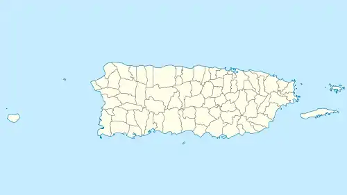 PR10 Location in Puerto Rico | |||||||||||
| Runways | |||||||||||
| |||||||||||
The Mayaguez VOR-DME (Ident: MAZ) is located 14.8 nautical miles (17.0 mi) north of the airstrip. The Borinquen VORTAC (Ident: BQN) is located 29.3 nautical miles (33.7 mi) north of the runway.[4][5]
See also
 Puerto Rico portal
 Aviation portal
- Transport in Puerto Rico
- List of airports in Puerto Rico
References
- FAA Airport Form 5010 for PR10 PDF, retrieved 2010-03-13
- Airport information for Boqueron Airport at Great Circle Mapper.
- "Boqueron Airport". Google Maps. Google. Retrieved 5 June 2018.
- Mayaguez VOR
- Borinquen VORTAC
External links
- OpenStreetMap - Boqueron Airport
- Airport information for PR10 at AirNav
- SkyVector - Boqueron Airport
- Boqueron aeronautical chart
This article is issued from Wikipedia. The text is licensed under Creative Commons - Attribution - Sharealike. Additional terms may apply for the media files.