Brampton Ash
Brampton Ash is a civil parish and village in Northamptonshire, England.[1][2] It lies in the extreme north-west of Northamptonshire and the nearest urban settlements are the nearby towns of Corby, Kettering, Desborough and Market Harborough. Running past the north of the village is the A427 road which connects Market Harborough to Oundle. At the 2011 census the population of the village was included in the civil parish of Stoke Albany.
| Brampton Ash | |
|---|---|
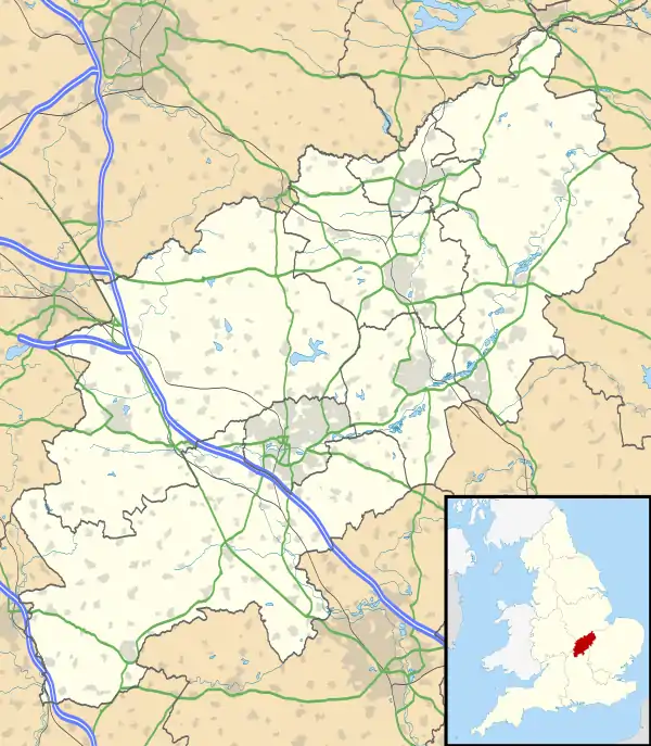 Brampton Ash Location within Northamptonshire | |
| OS grid reference | SP7887 |
| District | |
| Shire county | |
| Region | |
| Country | England |
| Sovereign state | United Kingdom |
| Post town | Market Harborough |
| Postcode district | LE16 |
| Dialling code | 01858 |
| Police | Northamptonshire |
| Fire | Northamptonshire |
| Ambulance | East Midlands |
| UK Parliament | |
Within Brampton Ash are the remains of a stone quarry. The church of St. Mary the Virgin is the main feature of the village. It is floodlit at night and can be seen for miles around the Welland valley. Brampton Ash is in the Borough of Kettering.
Population
| Year | Pop. | ±% |
|---|---|---|
| 1801 | 79 | — |
| 1831 | 100 | +26.6% |
| 1841 | 104 | +4.0% |
| 1851 | 101 | −2.9% |
| 1861 | 107 | +5.9% |
| 1871 | 153 | +43.0% |
| 1881 | 120 | −21.6% |
| 1891 | 140 | +16.7% |
| 1901 | 112 | −20.0% |
| 1911 | 130 | +16.1% |
| 1921 | 122 | −6.2% |
| 1931 | 130 | +6.6% |
| 1951 | 173 | +33.1% |
| 1961 | 142 | −17.9% |
| 1971 | 140 | −1.4% |
| 1981 | 160 | +14.3% |
| 1991 | 66 | −58.8% |
References
- Ordnance Survey: Landranger map sheet 141 Kettering & Corby (Market Harborough & Stamford) (Map). Ordnance Survey. 2014. ISBN 9780319229866.
- "Ordnance Survey: 1:50,000 Scale Gazetteer" (csv (download)). www.ordnancesurvey.co.uk. Ordnance Survey. 1 January 2016. Retrieved 30 January 2016.
This article is issued from Wikipedia. The text is licensed under Creative Commons - Attribution - Sharealike. Additional terms may apply for the media files.