Bredefjord
Bredefjord is a fjord in northeastern Greenland. Administratively it is part of the Northeast Greenland National Park zone.
| Bredefjord | |
|---|---|
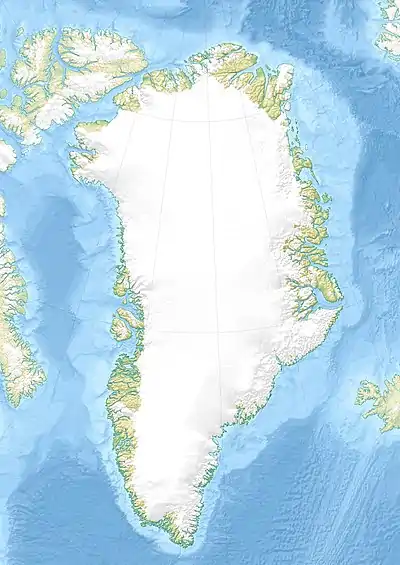
 Bredefjord Location in Greenland | |
| Location | Arctic |
| Coordinates | 75°35′N 21°45′W |
| Ocean/sea sources | Greenland Sea |
| Basin countries | Greenland |
| Max. length | 40 km (25 mi) |
| Max. width | 4 km (2.5 mi) |
Tundra climate prevails in the area of the fjord, the average annual temperature in the area being -14° C . The warmest month is July when the average temperature rises to 1° C and the coldest is January with -23° C.[1]
Geography
Bredefjord is oriented in a roughly NW/SE direction and its mouth opens at the junction with the Smallefjord from the west into the Ardencaple Fjord, Hochstetter Bay, Greenland Sea.[2] The large Stormgletscher and Ejnar Mikkelsen glaciers form a confluence at its head.[3]
Norlund Land, part of Queen Margrethe II Land, lies to the north of the fjord and C. H. Ostenfeld Land to the south.[4]

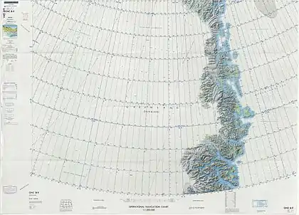
Map of Northeastern Greenland.
See also
References
- "NASA Earth Observations Data Set Index". NASA. Retrieved 8 June 2016.
- Prostar Sailing Directions 2005 Greenland and Iceland Enroute, p. 124
- "Bredefjord". Mapcarta. Retrieved 8 June 2016.
- "Catalogue of place names in northern East Greenland". Geological Survey of Denmark. Retrieved 1 July 2016.
External links
This article is issued from Wikipedia. The text is licensed under Creative Commons - Attribution - Sharealike. Additional terms may apply for the media files.
