Brunnsviken
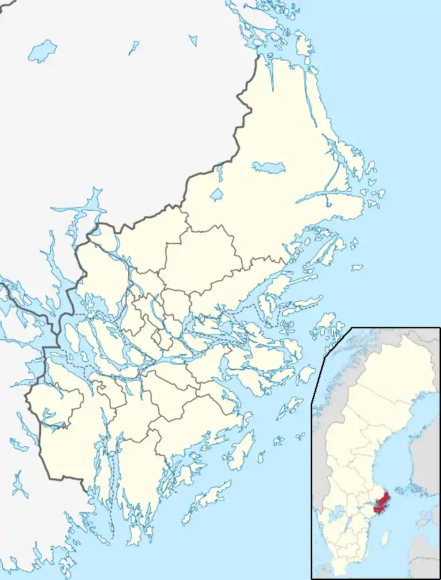
Brunnsviken (literally The Bay of Wells) is a 3.5 kilometres (2.2 mi) by 0.4–0.5 kilometres (0.25–0.31 mi) brackish lake in Sweden located on the boundary between Solna Municipality and Stockholm Municipality, connecting to Lilla Värtan through Ålkistan.[1] It has a perimeter of 12 kilometres (7.5 mi). Around Brunnsviken there are a wide range of interesting buildings and facilities. Brunnsviken stretches all the way from Vasastaden, Stockholm in the south to Bergshamra, Solna in the north, with Hagaparken along the western shoreline.[1] In the 1700s, Gustav III had plans to build a continuous belt of English parks around the lake. Since 1994, Brunnsviken has been a part of the Royal National City Park.
| Brunnsviken | |
|---|---|
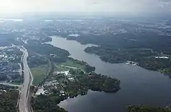 Aerial view from the north with the City of Stockholm at the end of the bay (top) | |
 Brunnsviken | |
| Location | Sweden |
| Coordinates | 59°22.2′N 18°2.3′E |
| Type | lake |
| Max. length | 3.5 kilometres (2.2 mi) |
| Max. width | 0.4–0.5 kilometres (0.25–0.31 mi) |
| Shore length1 | 12 kilometres (7.5 mi) |
| 1 Shore length is not a well-defined measure. | |
This article is issued from Wikipedia. The text is licensed under Creative Commons - Attribution - Sharealike. Additional terms may apply for the media files.
