Buti, Tuscany
Buti is a comune (municipality) in the Province of Pisa in the Italian region Tuscany, located about 50 kilometres (31 mi) west of Florence and about 15 kilometres (9 mi) east of Pisa. As of 31 December 2004, it had a population of 5,566 and an area of 23.1 square kilometres (8.9 sq mi).
Buti | |
|---|---|
| Comune di Buti | |
 | |
 Coat of arms | |
Location of Buti 
| |
 Buti Location of Buti in Italy 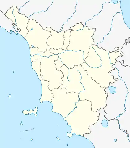 Buti Buti (Tuscany) | |
| Coordinates: 43°44′N 10°36′E | |
| Country | Italy |
| Region | Tuscany |
| Province | Pisa (PI) |
| Frazioni | Cascine di Buti, La Croce |
| Government | |
| • Mayor | Alessio Lari |
| Area | |
| • Total | 23.03 km2 (8.89 sq mi) |
| Elevation | 85 m (279 ft) |
| Population (30 April 2017)[2] | |
| • Total | 5,670 |
| • Density | 250/km2 (640/sq mi) |
| Demonym(s) | Butesi |
| Time zone | UTC+1 (CET) |
| • Summer (DST) | UTC+2 (CEST) |
| Postal code | 56032 |
| Dialing code | 0587 |
| Saint day | September 11 |
| Website | Official website |
Buti borders the following municipalities: Bientina, Calci, Capannori, Vicopisano.
Main sights
- Tonini Castle
- Medici Villa
- Fortified burgh of Castel di Nocco
- Church of St. Francis
Frazioni
The municipality is formed by the municipal seat of Buti and the villages (frazioni) of Cascine di Buti and La Croce.
References
- "Superficie di Comuni Province e Regioni italiane al 9 ottobre 2011". Istat. Retrieved 16 March 2019.
- All demographics and other statistics: Italian statistical institute Istat.
External links
| Wikimedia Commons has media related to Buti. |

| Authority control |
|
|---|
This article is issued from Wikipedia. The text is licensed under Creative Commons - Attribution - Sharealike. Additional terms may apply for the media files.