Camilo Ponce Enríquez (parish)
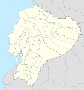
Camilo Ponce Enríquez is a parish in the Azuay province in southern Ecuador.[1] It is the seat of the Camilo Ponce Enríquez canton and is located roughly 230 miles southwest of Quito, the capital city of Ecuador.
Camilo Ponce Enríquez | |
|---|---|
 Camilo Ponce Enríquez | |
| Coordinates: 03°03′S 079°44′W[1] | |
| Country | |
| Province | Azuay |
| Canton | Camilo Ponce Enríquez |
| Named for | Camilo Ponce Enríquez |
| Area | |
| • Total | 268.76 km2 (103.77 sq mi) |
| Elevation | 362 m (1,188 ft) |
| Population (2010 census) | |
| • Total | 17,404 |
| • Density | 65/km2 (170/sq mi) |
| Climate | Aw |
It is named for Camilo Ponce Enríquez (1912 – 1976), who served as president of Ecuador from 1956 to 1960.
Geography
The municipality covers an area of 118.8 square kilometres.[2]
References
- Camilo Ponce Enríquez, Azuay, Ecuador at GEOnet Names Server. Retrieved 3 November 2009.
- "Camilo Ponce Enríquez". Asociación de Juntas Parroquiales Rurales del Azuay. Retrieved January 29, 2010.
This article is issued from Wikipedia. The text is licensed under Creative Commons - Attribution - Sharealike. Additional terms may apply for the media files.