Camopi Airport
Camopi Airport (sometimes called Vila Brasil Airport is an airport serving the Oyapock River village of Camopi, French Guiana near the border with Brazil.
Camopi Airport | |||||||||||
|---|---|---|---|---|---|---|---|---|---|---|---|
| Summary | |||||||||||
| Airport type | Public / Military | ||||||||||
| Serves | Camopi, French Guiana | ||||||||||
| Elevation AMSL | 237 ft / 72 m | ||||||||||
| Coordinates | 3°10′20″N 52°20′10″W | ||||||||||
| Map | |||||||||||
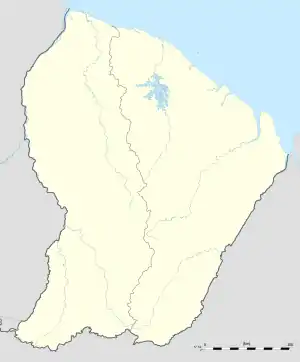 Camopi Location of the airport in French Guiana | |||||||||||
| Runways | |||||||||||
| |||||||||||
The airport is at the confluence of the Camopi River into the Oyapock, adjacent to the Camopi encampment of the 3rd Foreign Infantry Regiment of the French Foreign Legion.[3]
The Camopi non-directional beacon (Ident: CP) is located just south of the runway.[4]
References
- OurAirports - Camopi
- Bing Maps - Vila Brasil
- "Camopi: visite de Camopi en Guayne". America FR (in French). Retrieved 3 June 2020.
- Camopi NDB
This article is issued from Wikipedia. The text is licensed under Creative Commons - Attribution - Sharealike. Additional terms may apply for the media files.