Cape Cruz
Cape Cruz, (Spanish: Cabo Cruz), is a cape that forms the western extremity of the Granma Province in southern Cuba. It extends into the Caribbean sea and marks the eastern border of the Gulf of Guacanayabo.[1] Cape Cruz is located in the municipality of Niquero and is part of the Desembarco del Granma National Park.
| Cabo Curz | |
|---|---|
 | |
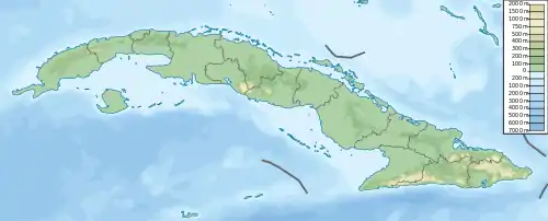 Location of Cape Cruz in Cuba | |
| Coordinates | 19°50′30.58″N 77°43′40.28″W |
| Offshore water bodies | Caribbean Sea |
Architecture
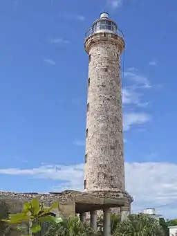
The southernmost tip of Cape Cruz is marked by Faro Vargas, a nineteenth-century lighthouse with a height of 32 metres (105 ft).
Transport
The cape is the endpoint of the Niquero branch of the "Circuito Sur de Oriente" (CSO) highway.
Notes
- Hernández 2001
References
This article is issued from Wikipedia. The text is licensed under Creative Commons - Attribution - Sharealike. Additional terms may apply for the media files.
