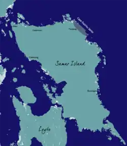
Cape Espiritu Santo
Cape Espiritu Santo is the northeastern point of the Northern Samar and the northernmost point of Samar Island. It was named Cabo Espiritu Santo by early European explorers, since it was discovered on the Feast of the Holy Spirit.[1] It is also the first land sighted by the Spaniards when sailing from Nueva España, marks the end of their long sailing as they approaches the land and coast of the Ibabaw in the Philippines.
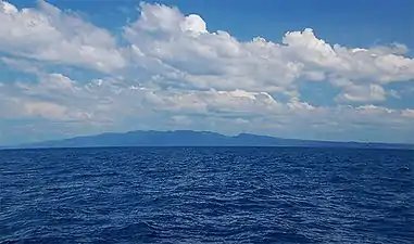 View of Cape Espiritu Santo from pacific Ocean
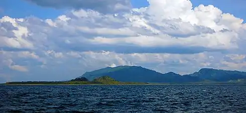 Photo of Cape Espiritu Santo taken 3km West of Batag Island
| Cape Espiritu Santo | |
|---|---|
| Magsasanga (16th century) | |
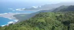 View of Cape Espiritu Santo or the Northeastern tip of Samar island | |
 | |
| Location | |
| Coordinates | 12.535°N 125.189°E |
| Offshore water bodies | Pacific Ocean |
Notes
- Alcina, Ignacio Francisco (1668). Historia de las islas e indios de Bisayas. pp. 161 book 1: Chapter 5.
This article is issued from Wikipedia. The text is licensed under Creative Commons - Attribution - Sharealike. Additional terms may apply for the media files.