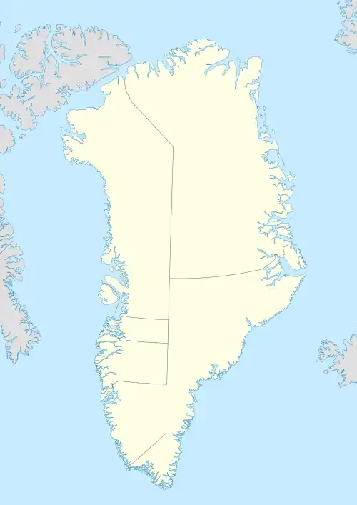
Cape Morris Jesup
Cape Morris Jesup (Danish: Kap Morris Jesup) is a headland in Peary Land, Greenland.
| Cape Morris Jesup | |
|---|---|
| Kap Morris Jesup | |
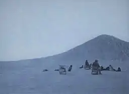 View of Cape Morris Jesup on May 16, 1900 | |
 | |
| Location | Greenland |
| Coordinates | 83°37′39″N 32°39′52″W |
| Offshore water bodies | Arctic Ocean |
| Area | Arctic |
Geography
Cape Morris Jesup is the northernmost point of mainland Greenland. It is 712 kilometres (442 mi) from the geographic North Pole. It is located in Johannes V. Jensen Land, about 20 km (12 mi) east of the mouth of Sands Fjord and west of Constable Bay.[1] The cape marks the limit between the Lincoln Sea to the west and the Wandel Sea to the east. About 5 km (3.1 mi) southeast of the cape there is a river forming a small delta that flows from the Mary Peary Peaks, part of the Roosevelt Range to the south.[2]
History
Robert Peary reached the cape on 13 May 1900, believing it to be the northernmost point of land in the world, although it was later found to lie slightly to the south of the northernmost tip of Kaffeklubben Island.[3] The cape is named after American philanthropist Morris Ketchum Jesup, president of the Peary Arctic Club, who helped finance Peary's expeditions.[4]
See also
References
- "Kap Morris Jesup". Mapcarta. Retrieved 22 May 2019.
- "Cape Morris Jesup". Geographical Items on North Greenland Encyclopedia Arctica vol.14-0590. Retrieved 5 July 2019.
- "Oodaap Qeqertaa". Archived from the original on 2018-01-05. Retrieved 2016-04-02.
- The Peary Arctic Club - Bowdoin College
