Cape Negrais
Cape Negrais, also known as Pagoda Point or Mawtin Point (Mawtin Zoon), is a cape in Burma (Myanmar), west of the Irrawaddy Delta. It is located 133 km to the NNE of Preparis Island and 193 kilometres from the nearest point in the Indian union territory of the Andaman and Nicobar Islands. For a long time, it was occupied by the Kingdom of Mrauk U (1429-1785 CE). It was a battleground in the Taungoo-Mrauk U War of 1545 to 1547. [1]
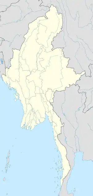
Cape Negrais
Location of Cape Negrais in Burma
It is northernmost point of Andaman Sea where it meets Bay of Bengal. To the south and east of this point lies Andaman Sea, and to the north and west lies the Bay of Bengal.
See also
- Geography of Burma
- Coco Islands, Myanmar's westernmost island.
- Landfall Island, India's's northernmost island in Andaman Nicobar islands.
References
- Prostar Sailing Directions 2005 India & Bay of Bengal Enroute By National Geospatial-intelligence Agency
This article is issued from Wikipedia. The text is licensed under Creative Commons - Attribution - Sharealike. Additional terms may apply for the media files.