Cape Unslicht
Cape Unslicht (Russian: Мыс Песчаный, Mys Peschanyy)[1] is a headland in Severnaya Zemlya, Russia.
| Cape Unslicht | |
|---|---|
| Мыс Песчаный Cape Peschany | |
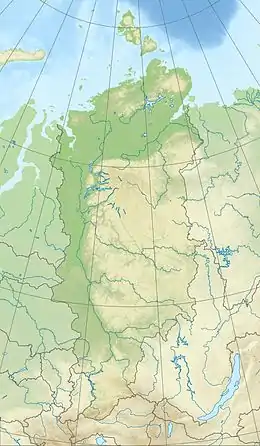 Location of Cape Unslicht in Krasnoyarsk Krai | |
| Location | Bolshevik Island, Severnaya Zemlya, |
| Coordinates | 79°25′4″N 102°31′0″E |
| Offshore water bodies | Laptev Sea |
| Area | Russian Far North |
Geography
Stretching out northwards NW of the Akhmatov Fjord and east of the mouth of Mikoyan Bay, this headland is the northernmost point of Bolshevik Island.[1]
Cape Unslicht is one of the landmarks defining the limits of the Laptev Sea according to the International Hydrographic Organization.[2]
History
The Laptev Sea shore of present-day Severnaya Zemlya was discovered by Boris Vilkitsky in 1913 during the Arctic Ocean Hydrographic Expedition on behalf of the Russian Hydrographic Service, but he was unaware that there was a strait west of the cape between what is now Bolshevik Island and the islands further north, for the straits are frozen most of the year, forming a compact whole.[3][4]
Named during the 1930–1932 expedition to the archipelago led by Georgy Ushakov and Nikolay Urvantsev after Zofia Unslicht, a German communist figure,[5][6] this headland was renamed Mys Peschanyy (Sandy Cape) in Russian, following World War II.
There was a weather and scientific station near the cape, Peschanny Polar Station, now abandoned.[7]
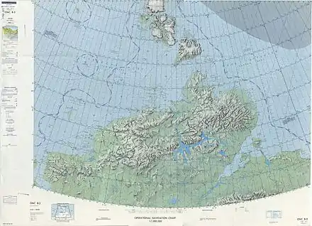 1975 map showing Severnaya Zemlya and the Taymyr Peninsula |
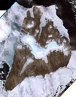 Landsat 7 image of Bolshevik Island |
References
- "Mys Peschanyy". Mapcarta. Retrieved 27 November 2016.
- "Limits of Oceans and Seas, 3rd edition" (PDF). International Hydrographic Organization. 1953. Archived from the original (PDF) on 8 October 2011. Retrieved 29 December 2020.
- Barr, William (1975). "Severnaya Zemlya: the last major discovery". Geographical Journal. 141 (1): 59–71. doi:10.2307/1796946.
- "Октябрьской Революции Остров" Great Soviet Encyclopedia
- Архипелаг Северная Земля — один из наиболее крупных районов оледенения на территории России
- "Word Pro - Die Komintern.lwp - Internationale Sozialisten" (PDF). Archived from the original (PDF) on 2016-11-27. Retrieved 2016-11-27.
- Operational Navigation Chart B-3, 2nd edition