Carlsbad, Texas
Carlsbad is a census-designated place and unincorporated community in northwest Tom Green County, Texas, United States. It lies along U.S. Route 87 northwest of the city of San Angelo, the county seat of Tom Green County.[1] Its elevation is 2,024 feet (617 m).[2] Although Carlsbad is unincorporated, it has a post office, with the ZIP code of 76934;[3] the ZCTA for ZIP Code 76934 had a population of 1,332 at the 2000 census.[4]
Carlsbad | |
|---|---|
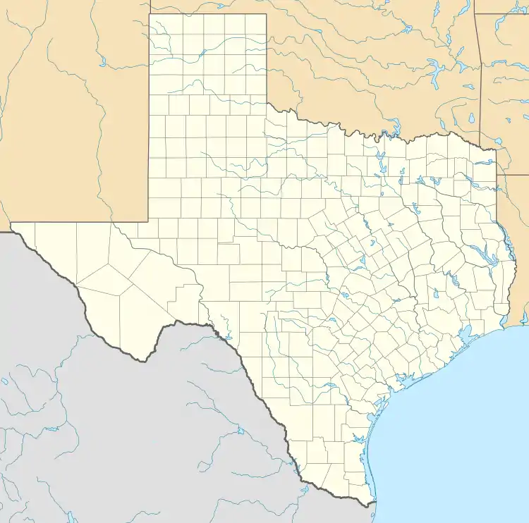 Carlsbad Location within the state of Texas  Carlsbad Carlsbad (the United States) | |
| Coordinates: 31°36′41″N 100°38′26″W | |
| Country | United States |
| State | Texas |
| County | Tom Green |
| Area | |
| • Total | 1.6 sq mi (4.1 km2) |
| • Land | 1.6 sq mi (4.1 km2) |
| • Water | 0.0 sq mi (0.0 km2) |
| Elevation | 2,024 ft (617 m) |
| Population (2010) | |
| • Total | 719 |
| • Density | 450/sq mi (180/km2) |
| Time zone | UTC-6 (Central (CST)) |
| • Summer (DST) | UTC-5 (CDT) |
| ZIP codes | 76934 |
| FIPS code | 48-12892 |
| GNIS feature ID | 1353826 |
This was a new CDP for the 2010 census with a population of 719. [5]
Located along the North Concho River, Carlsbad was founded in 1907 under the name of Hughes. When the Post Office required the community to be renamed, residents chose the name of the spa town of Karlsbad in Bohemia, after local wells were discovered to yield mineral water.[6]
Geography
Carlsbad is located at 31°36′41″N 100°38′26″W (31.611248, -100.640647). The CDP has a total area of 1.6 square miles (4.1 km2), all land.[7]
References
- Rand McNally. The Road Atlas '08. Chicago: Rand McNally, 2008, p. 99.
- U.S. Geological Survey Geographic Names Information System: Carlsbad, Texas
- Zip Code Lookup Archived June 15, 2011, at the Wayback Machine
- "U.S. Census website". United States Census Bureau. Retrieved 2008-01-31.
- "Population and Housing Unit Counts, 2010 Census of Population and Housing" (PDF). Texas: 2010.
- Carlsbad, Texas, Handbook of Texas Online, 2008-01-17. Accessed 2008-08-17.
- "Carlsbad, Texas :: Boundary Map of Carlsbad, Texas". Archived from the original on 2016-12-30. Retrieved 2016-12-30.
External links
Municipalities and communities of Tom Green County, Texas, United States | ||
|---|---|---|
| City | 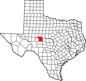 Tom Green County map | |
| CDPs | ||
| Other unincorporated communities | ||
| Ghost town | ||
| ||