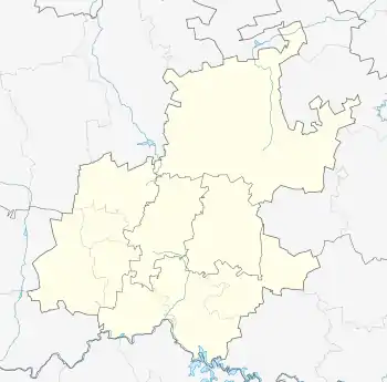
Carlswald
Carlswald is a suburb of Johannesburg, South Africa. It is located in Region 2.
Carlswald | |
|---|---|
 Carlswald  Carlswald | |
| Coordinates: 25°58′58″S 28°06′13″E | |
| Country | South Africa |
| Province | Gauteng |
| Municipality | City of Johannesburg |
| Main Place | Midrand |
| Area | |
| • Total | 4.08 km2 (1.58 sq mi) |
| Population (2011)[1] | |
| • Total | 1,063 |
| • Density | 260/km2 (670/sq mi) |
| Racial makeup (2011) | |
| • Black African | 35.5% |
| • Coloured | 0.8% |
| • Indian/Asian | 9.8% |
| • White | 51.6% |
| • Other | 2.3% |
| First languages (2011) | |
| • English | 58.1% |
| • Afrikaans | 10.2% |
| • Zulu | 10.1% |
| • Tswana | 3.4% |
| • Other | 18.1% |
| Time zone | UTC+2 (SAST) |
| Postal code (street) | 1684 |
| PO box | 1685 |
The area was originally part of a farm owned by Carl Eisenberger. The suburb is currently designated for small agricultural holdings with approximately 150 plots of land, each approximately 2.2 hectares in size. Little of this land is currently used in farming, apart from one farm which has a resident herd of cattle. Horses may be kept by residents as well as small livestock such as sheep, chickens and geese. ==
- "Sub Place Carlswald". Census 2011.
This article is issued from Wikipedia. The text is licensed under Creative Commons - Attribution - Sharealike. Additional terms may apply for the media files.