Catawba, Virginia
Catawba is an unincorporated community in the northern section of Roanoke County, Virginia, United States. Catawba occupies the Catawba Valley bound on the south by the north slope of Catawba Mountain and on the north by several mountains which form the border between Roanoke County and Craig County. The primary road through Catawba is State Route 311.[3] Catawba has a post office with the zip code of 24070.
Catawba, Virginia | |
|---|---|
 Panoramic image of the Catawba Valley from the McAfee Knob overlook along the Appalachian Trail | |
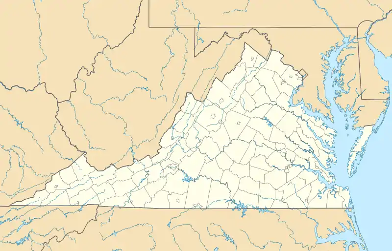 Location within the Commonwealth of Virginia | |
| Coordinates: 37°22′57″N 80°06′34″W[1] | |
| Country | United States |
| State | Virginia |
| County | Roanoke |
| Elevation | 1,742 ft (531 m) |
| Time zone | UTC-5 (Eastern (EST)) |
| • Summer (DST) | UTC-4 (EDT) |
| ZIP code | 24070 |
| Area code | 540 |
| GNIS ID[2] | 1492727 |
| USGS[1] | |
Catawba is known as a rural enclave of the Roanoke Valley with its farms, bed and breakfasts, and the Homeplace Restaurant. The Catawba Hospital, a mental health facility operated by the Commonwealth of Virginia, is near Route 311[4] and traces its history back to a resort established in 1857 to take advantage of the believed healing properties of a sulfur and limestone spring. Route 311 intersects State Route 785, which connects to Blacksburg, and State Route 779, which connects to Daleville, in Catawba.

The Appalachian Trail passes through the Catawba area and provides access to two notable trail landmarks, Dragon's Tooth and McAfee Knob. The Homeplace Restaurant is a popular eatery for through hikers on the trail.
Audie Murphy was killed in a plane crash near Catawba in 1971; a monument has since been erected at the crash site.[5]
The Anderson-Doosing Farm and Johnsville Meetinghouse are listed on the National Register of Historic Places.[6]
References
- "Feature Detail Report for: Catawba (Roanoke County, Virginia)". Geographic Names Information System. United States Geological Survey. Retrieved August 6, 2008.
- "US Board on Geographic Names". United States Geological Survey. 2007-10-25. Retrieved 2008-01-31.
- Catawba, VA (Map). Google Maps. Retrieved August 6, 2008.
- "Catawba Hospital". Retrieved 2012-06-09.
- "Audie Murphy Monument". Historical Marker Project. Retrieved 7 October 2016.
- "National Register Information System". National Register of Historic Places. National Park Service. July 9, 2010.
External links
![]() Media related to Catawba, Virginia at Wikimedia Commons
Media related to Catawba, Virginia at Wikimedia Commons
Municipalities and communities of Roanoke County, Virginia, United States | ||
|---|---|---|
| Town | 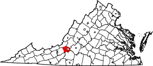 Map of Virginia highlighting Roanoke County | |
| CDPs | ||
| Unincorporated communities | ||
| Footnotes | ‡This populated place also has portions in an adjacent county or counties | |
| ||
