Cato (community), Wisconsin
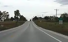
Cato is an unincorporated community located in the town of Cato, Manitowoc County, Wisconsin, United States. Cato is located on U.S. Route 10 2 miles (3.2 km) west of Whitelaw. U.S. Route 10 also forced the razing of much of downtown Cato.
Cato, Wisconsin | |
|---|---|
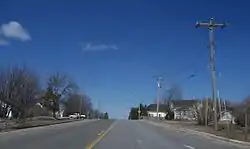 Downtown Cato | |
 Cato, Wisconsin  Cato, Wisconsin | |
| Coordinates: 44°08′34″N 87°51′40″W | |
| Country | |
| State | |
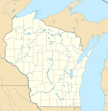
| County | Manitowoc |
| Elevation | 260 m (850 ft) |
| Time zone | UTC-6 (Central (CST)) |
| • Summer (DST) | UTC-5 (CDT) |
| Area code(s) | 920 |
| GNIS feature ID | 1562813[1] |
History
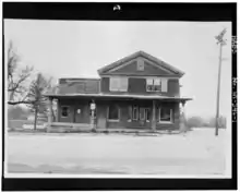
Cato was originally known as Nettle Hills due to the abundant itchy weed before being renamed after a settler's hometown, Cato, New York.[2] As a station along a train line from Manitowoc to Forest Junction, Cato averaged 8 trains a day. A school existed from the 1900s to 1930s and a Presbyterian church from then to the 1960s. The post office lasted for 128 years.
In 1992, a project to improve U.S. 10 required the purchase of the townsite and much of the downtown buildings to be razed, thus resulting in historical buildings to come down.[2]
References
- U.S. Geological Survey Geographic Names Information System: Cato (community), Wisconsin
- Fochs, Rhonda (2017). Wisconsin's Lost Towns. Clearwater, Minnesota: North Star Press. p. 151. ISBN 1-68201-058-9.
Municipalities and communities of Manitowoc County, Wisconsin, United States | ||
|---|---|---|
| Cities | 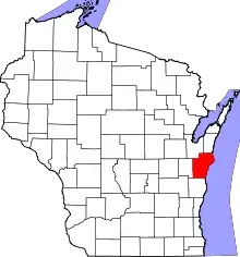 | |
| Villages | ||
| Towns | ||
| CDP | ||
| Unincorporated communities |
| |
| Footnotes | ‡This populated place also has portions in an adjacent county or counties | |
| ||