Chandpura, Sikar
Chandpura is a village located in Sikar district of Rajasthan. It is 3 km away from Sikar. SH 21 passes form Chandpura. The native language of Chandpura is Hindi and most of the village people speak Hindi. Chandpura people also use Marwari language for communication.
Chandpura | |
|---|---|
village | |
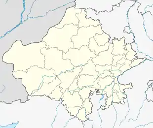 Chandpura Location in Rajasthan, India  Chandpura Chandpura (India) | |
| Coordinates: 27.566550°N 75.140756°E | |
| Country | |
| State | Rajasthan |
| District | Sikar |
| Elevation | 486 m (1,594 ft) |
| Languages | |
| • Official | Hindi |
| Time zone | UTC+5:30 (IST) |
| PIN | 332021 |
| Telephone code | 01572 |
The vehicle driving side in Chandpura is left, all vehicles should take left side during driving. Chandpura people are using its national currency
which is Indian Rupee and its international currency code is INR.
Nearest airport to Chandpura - Jaipur
Nearest town/city to Chandpura - Sanwali
General information
- Main business: Agriculture.
- Religion: 100% of population are Hindus (Most population having cast Jat (Bijarniya, Sevda, Gora, Burdak))
- Geographical Location: 3 km from Sikar City.
- Temperature: Max. 44 °C in June, Min. 1 °C in January
- Monsoon Season: June to July
- Annual Rainfall: 419 mm
Agriculture
- Onions
- Wheat
- Rice
- Fresh vegetables
- Fresh Fruit
- Groundnuts, with shell
- Garlic
- Cauliflowers
- Peas, green
- Sesame seed
- Cow milk, whole, fresh
- Buffalo milk - whole, fresh
- Potatoes
- Cotton lint
- Cottonseed
- Sorghum
- Spices
- Okra
- Bananas
- Mangoes, mangosteens, guavas
- Pulses
- Fruit, tropical
- peas
- Papayas
- Chillies
Education
- Bhartiya Institute of Engineering And Technology Sikar
- Government Polytechnic College Chandpura Sikar
References
This article is issued from Wikipedia. The text is licensed under Creative Commons - Attribution - Sharealike. Additional terms may apply for the media files.