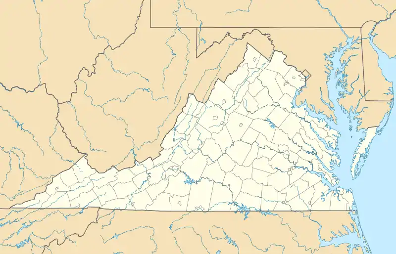
Check, Virginia
Check is an unincorporated community in Floyd County, Virginia, United States. Check is located on U.S. Route 221 12.1 miles (19.5 km) northeast of Floyd. Check has a post office with ZIP code 24072, which opened on July 23, 1883.[2][3] The origin of the name "Check" is obscure.[4]
Check, Virginia | |
|---|---|
Unincorporated community | |
 Check  Check | |
| Coordinates: 37°02′05″N 80°09′56″W | |
| Country | United States |
| State | Virginia |
| County | Floyd |
| Elevation | 2,582 ft (787 m) |
| Time zone | UTC-5 (Eastern (EST)) |
| • Summer (DST) | UTC-4 (EDT) |
| ZIP code | 24072 |
| Area code(s) | 540 |
| GNIS feature ID | 1464762[1] |
Check contains a primary school, Check Elementary School, which is located in the old Check High School building.[5]
References
- "Check". Geographic Names Information System. United States Geological Survey.
- United States Postal Service (2012). "USPS - Look Up a ZIP Code". Retrieved 2012-02-15.
- "Postmaster Finder - Post Offices by ZIP Code". United States Postal Service. Retrieved August 21, 2012.
- Moyer, Armond; Moyer, Winifred (1958). The origins of unusual place-names. Keystone Pub. Associates. p. 141.
- "Check Elementary School". Archived from the original on November 12, 2013. Retrieved November 11, 2013.
Municipalities and communities of Floyd County, Virginia, United States | ||
|---|---|---|
| Town | 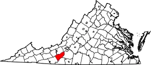 Map of Virginia highlighting Floyd County | |
| Unincorporated communities | ||
| ||
This article is issued from Wikipedia. The text is licensed under Creative Commons - Attribution - Sharealike. Additional terms may apply for the media files.