Chernyshevsk
Chernyshevsk (Russian: Чернышевск, IPA: [t͡ɕɪrnɨˈʂɛfsk]) is an urban settlement and the administrative center of the Chernyshevsky District, Zabaykalsky Krai. The village is located on both sides of the river Aleur at its confluence with the river Quang, 389 kilometers (by rail) north-east of Chita.[1]
Chernyshevsk
Чернышевск | |
|---|---|
Town | |
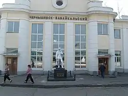 Chernyshevsk railway station, May 2008 | |
Location of Chernyshevsk 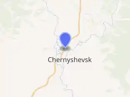
| |
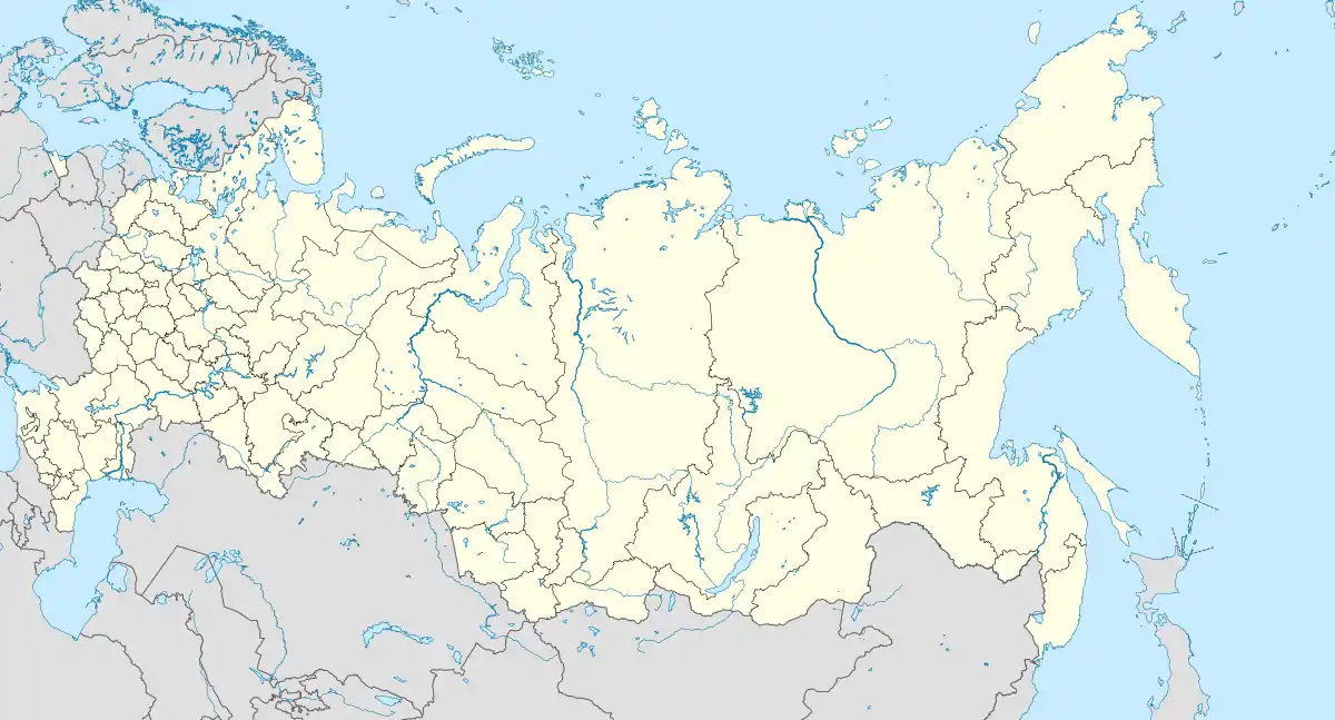 Chernyshevsk Location of Chernyshevsk 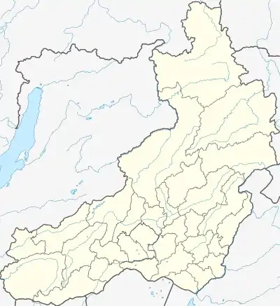 Chernyshevsk Chernyshevsk (Zabaykalsky Krai) | |
| Coordinates: 52°32′00″N 117°00′00″E | |
| Country | Russia |
| Federal subject | Zabaykalsky Krai |
| Administrative district | Chernyshevsky District |
| Founded | 17th century[1] |
| Town status since | 1938[1] |
| Population | |
| • Total | 12,533 |
| • Estimate (2018)[3] | 12,762 (+1.8%) |
| • Capital of | Chernyshevsky District |
| Time zone | UTC+9 (MSK+6 |
| Postal code(s)[5] | 673462 |
| Dialing code(s) | +7 30265 |
| OKTMO ID | 76648151051 |
History
Originally Aleurskaya zaimka then Popovskaya settlement, which arose no earlier than 1670. In 1851, the peasants who lived in the settlement attributed to the Cossack class.
In 1908, across the river Aleur built patrol Paschen on Amur railway. During the construction of the railway siding near the camp appeared builders, who later became the village Chernyshev. In 1921 by the decision of the inhabitants of two settlements merged into one called Chernyshev. In 1928, a patrol station renamed Tillage Tillage.
District Centre - 1934, Status townships - since 1938.[1]
New impetus to the development of the village gave the construction of new sections of the Trans-Baikal Railway in 1933–1940 years. In the village of these years new locomotive and wagon depot, power station, Post House, Railway Station, School. In 1936, in the village visited the People's Commissar of Railways Lazar Kaganovich in connection with his visit to the station renamed Tillage station Kaganovich.[1] In September 1957, the station was named Chernishevsk-Transbaikalia, and the working settlement Chernyshev renamed Chernishevsk.[1]
References
- Orlov, Yu. S. "Чернышевск". Encyclopedia of Trans-Baikal Region.
- Russian Federal State Statistics Service (2011). "Всероссийская перепись населения 2010 года. Том 1" [2010 All-Russian Population Census, vol. 1]. Всероссийская перепись населения 2010 года [2010 All-Russia Population Census] (in Russian). Federal State Statistics Service.
- "26. Численность постоянного населения Российской Федерации по муниципальным образованиям на 1 января 2018 года". Federal State Statistics Service. Retrieved 23 January 2019.
- "Об исчислении времени". Официальный интернет-портал правовой информации (in Russian). 3 June 2011. Retrieved 19 January 2019.
- Почта России. Информационно-вычислительный центр ОАСУ РПО. (Russian Post). Поиск объектов почтовой связи (Postal Objects Search) (in Russian)