Cime de la Bonette
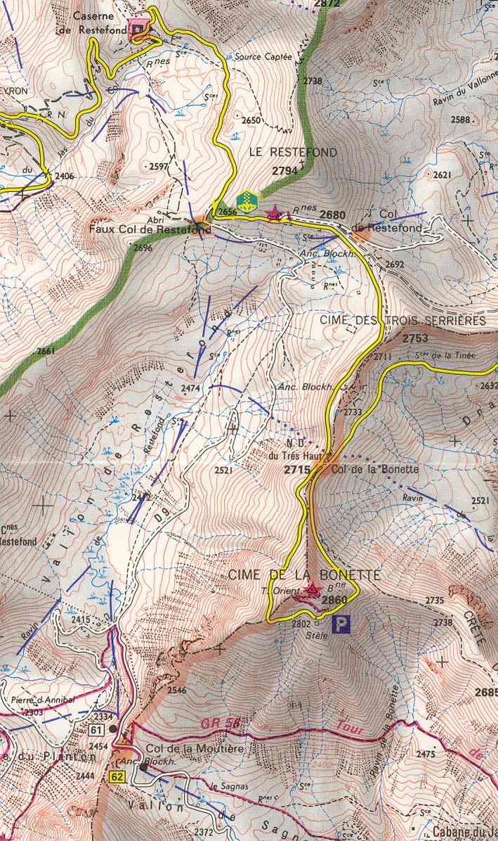
Cime de la Bonette (el. 2,860 metres or 9,383 feet) is a mountain in the French Alps, near the border with Italy. It is situated within the Mercantour National Park on the border of the departments of Alpes-Maritimes and Alpes-de-Haute-Provence, between the Ubaye Valley and the valley of the Tinée River.
| Cime de la Bonette | |
|---|---|
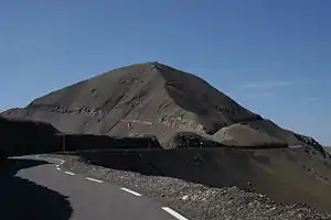 Cime de la Bonette, viewed from the northern ascent of the Col de la Bonette pass from Jausiers | |
| Highest point | |
| Elevation | 2,860 m (9,380 ft) |
| Coordinates | 44°19′18″N 06°48′25″E |
| Geography | |
 Cime de la Bonette | |
| Parent range | Mercantour National Park |
"Cime" means "summit" in both Italian and French.
The summit is surrounded by road from the Col de la Bonette, which reaches 2,802 metres (9,193 ft), and is the second highest paved through route in the Alps. It is also the highest point reached by the Tour de France.[1]
References
- Woodland, Les (2003). The Yellow Jersey Companion to the Tour de France. London: Yellow Jersey Press. p. 261. ISBN 0-224-06318-9.
External links
This article is issued from Wikipedia. The text is licensed under Creative Commons - Attribution - Sharealike. Additional terms may apply for the media files.