Clintonville Municipal Airport
Clintonville Municipal Airport (IATA: CLI, ICAO: KCLI, FAA LID: CLI) is located two miles southeast of Clintonville, in Waupaca County, Wisconsin.[1] The Federal Aviation Administration (FAA) National Plan of Integrated Airport Systems for 2019–2023 categorized it as a local general aviation facility.[2]
Clintonville Municipal Airport | |||||||||||||||||||
|---|---|---|---|---|---|---|---|---|---|---|---|---|---|---|---|---|---|---|---|
 Hangars | |||||||||||||||||||
 Entrance Sign | |||||||||||||||||||
| Summary | |||||||||||||||||||
| Airport type | Public | ||||||||||||||||||
| Owner | City of Clintonville | ||||||||||||||||||
| Serves | Clintonville, Wisconsin | ||||||||||||||||||
| Elevation AMSL | 822 ft / 251 m | ||||||||||||||||||
| Coordinates | 44°36′48″N 088°43′51″W | ||||||||||||||||||
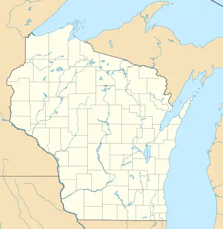
| Map | |||||||||||||||||||
 CLI  CLI | |||||||||||||||||||
| Runways | |||||||||||||||||||
| |||||||||||||||||||
| Statistics | |||||||||||||||||||
| |||||||||||||||||||
The airport was the birthplace of Wisconsin Central Airlines which became North Central Airlines.[3] It scheduled flights to Clintonville from 1948 until 1966.
Facilities
The airport covers 533 acres (216 ha) at an elevation of 822 feet (251 m). It has three runways: 14/32 is 4,599 by 75 feet (1,402 x 23 m) asphalt; 4/22 is 3,812 by 75 feet (1,162 x 23 m) asphalt; 9/27 is 2,002 by 170 feet (610 x 52 m) grass.[1]
In the year ending June 24, 2020 the airport had 11,500 aircraft operations, an average of 32 per day: 93% general aviation and 7% air taxi. In December 2020, there were 21 aircraft based at this airport; 20 single-engine and 1 multi-engine.[1]
The CLINTONVILLE (CLI) non-directional beacon, 209 kHz, is on the field.
See also
References
- FAA Airport Form 5010 for CLI PDF. Federal Aviation Administration. effective December 3, 2020.
- "NPIAS Report 2019-2023 Appendix A" (PDF). Federal Aviation Administration. October 3, 2018. Retrieved October 13, 2018.
- "Clintonville Municipal Airport". City of Clintonville. Archived from the original on September 10, 2014. Retrieved August 17, 2008.
External links
- Airport page at City of Clintonville website
- "Clintonville Municipal (CLI)" (PDF). Archived from the original (PDF) on August 28, 2008. at Wisconsin DOT Airport Directory
- FAA Terminal Procedures for CLI, effective December 31, 2020
- Resources for this airport:
- FAA airport information for CLI
- AirNav airport information for KCLI
- ASN accident history for CLI
- FlightAware airport information and live flight tracker
- NOAA/NWS weather observations: current, past three days
- SkyVector aeronautical chart, Terminal Procedures