Copeland Park, Ottawa
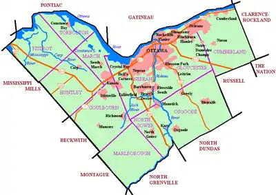
Copeland Park[2] (French: Parc Copeland) is a neighbourhood located in College Ward in the west end of Ottawa, Canada. It is bounded to the west by Agincourt Road, to the south by Baseline Road, to the east by Clyde Avenue and to the north by the Central Experimental Farm Pathway.[3]
Copeland Park | |
|---|---|
Neighbourhood | |
 Copeland Park | |
 Copeland Park Location in Ottawa | |
| Coordinates: 45.364358°N 75.747778°W | |
| Country | Canada |
| Province | Ontario |
| City | Ottawa |
| Electoral district | Ottawa West—Nepean |
| First house | 1956 |
| Government | |
| • MP | Anita Vandenbeld |
| • MPP | Jeremy Roberts |
| • Councillor | Rick Chiarelli |
| Area | |
| • Total | 0.809 km2 (0.312 sq mi) |
| Elevation | 95 m (312 ft) |
| Canada 2006 Census | |
| Time zone | UTC−5 (Eastern (EST)) |
| • Summer (DST) | UTC−4 (EDT) |
| Forward sortation area | K2C |
The community was built in the late 1950s and early 1960s by A.B. Taylor Construction Ltd.[4] The first home was built in 1956.[5] In the 1970s, a 21-storey high-rise called the Castle Hill was built at the corner of Castle Hill Crescent and Clyde Avenue. The high-rise is owned by Minto. During that same decade more townhouses and three high-rises were built on Baseline Road at Clyde Avenue. The neighbourhood is mostly surrounded by woods.
The neighbourhood is home to Copeland Park on Navaho Drive, Agincourt Park and Greenlawn Park. There are two schools: Agincourt Public School and Tancook Bell School (also home to a daycare, the building was St. Daniel's Catholic School until 2001) Laurentian High School was located on the corner of Baseline and Clyde until it closed in 2005 to make way for a Wal-Mart shopping complex and an office building. The community is also home to Trinity United Church, located on Maitland Avenue.
The population of the neighbourhood is roughly 4150.
References
- Pinecrest Creek/Westboro Stormwater Management Retrofit Study, May 2011
- http://www4.rncan.gc.ca/search-place-names/unique/FAYVB
- "A Woman Toiling for Others". Ottawa Citizen. December 1, 2008.
- "Variety of Designs, Colors (sic) Add Appeal to Quality". Ottawa Journal. April 24, 1959.
- "Copeland Park Project to Include 1,000 Homes". Ottawa Journal. September 28, 1956.
Places adjacent to Copeland Park, Ottawa | ||||||||||
|---|---|---|---|---|---|---|---|---|---|---|
| ||||||||||
