County of York (South Australia)
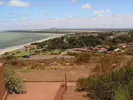
The County of York is one of the 49 cadastral counties of South Australia. It was proclaimed by acting Governor Samuel Way in 1895 and named for King George V who was known at the time as the Duke of York.[1] It covers a portion of the state on the Eyre Peninsula east coast at the latitude of Whyalla. It stretches westwards to the eastern boundary of Lake Gilles Conservation Park[1]
| York South Australia | |||||||||||||||
|---|---|---|---|---|---|---|---|---|---|---|---|---|---|---|---|
 | |||||||||||||||
 York | |||||||||||||||
| Coordinates | 33.08°S 137.21°E | ||||||||||||||
| Established | 1895 | ||||||||||||||
| Area | 3,419 km2 (1,320.1 sq mi) | ||||||||||||||
| LGA(s) | City of Whyalla | ||||||||||||||
| |||||||||||||||
Hundreds
The County of York includes the following 7 hundreds:
- Hundred of Cultana (Cultana, Port Bonython)
- Hundred of Ash (Middleback Range, Myola Station)
- Hundred of Randell (Middleback Range, Whyalla, Mullaquana)
- Hundred of Nilginee (Secret Rocks, Cooyerdoo)
- Hundred of Moonabie (Middleback Range, Cooyerdoo)
- Hundred of Batchelor (Middleback Range)
- Hundred of Poynton (Middleback Range, Murninnie Beach)
References
- "Search for 'County of York, CNTY' (ID SA0002842)". Government of South Australia. Retrieved 20 July 2016.
This article is issued from Wikipedia. The text is licensed under Creative Commons - Attribution - Sharealike. Additional terms may apply for the media files.