Cruces River
The Cruces River (Spanish: Río Cruces) is a river near Valdivia, Chile. Río Cruces originates from hills near the Villarica volcano and flows then in south-west direction. The southern and final part of the river follows the Valdivian Coastal Range. At the latitude of Valdivia it is crossed by Río Cruces Bridge near its outflow into Valdivia River. The small village of Punucapa is the main centre for tourism in Río Cruces. The river flow through (or near) the cities of Loncoche, Lanco, and Mariquina. Some of the wetlands in the river's lower flow are inside Carlos Anwandter Nature Sanctuary, a protected area that in the river that extends roughly from Punucapa in the south to San Luis de Alba Fort in the north.
| Cruces River | |
|---|---|
 View of Valdivia from the western side of Cruces River | |
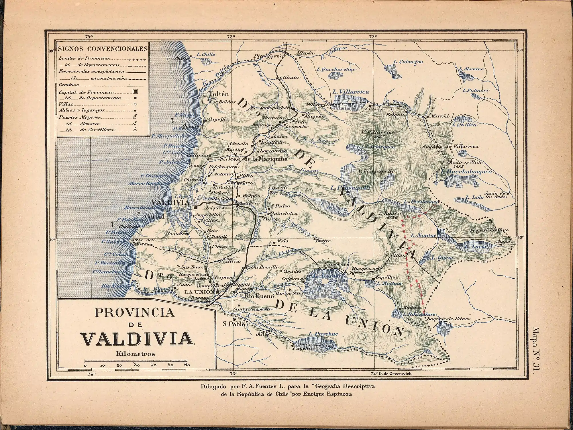 Cruces River in a map of 1903 | |
| Native name | Río Cruces (Spanish) |
| Location | |
| Country | Chile |
| Physical characteristics | |
| Source | |
| • location | Hills north of Calafquén Lake |
| Mouth | |
• location | Valdivia River |
| Length | 125 km (78 mi)[1] |
| Basin size | 3,233 km2 (1,248 sq mi)[1] |
History
Since pre-Hispanic times the river has been used by the Indians to transport food for commerce. In its early days the city of Valdivia received vegetables from villages via the Cruces River. Before Valdivia became isolated from the rest of the Spanish Empire due to the Arauco War, its main land route (Camino Real in Spanish) to Concepción was drawn following the Cruces river. The river is home to thousands of birds that live in its wetlands. The wetlands were created when the soil that surrounded the river sunk during the Great Chilean earthquake. The wetlands The most known bird of the place is the black-necked swan. In 2004 a CELCO pulp mill opened near San José de la Mariquina, and begun to contaminate the wetlands of the river.
See also
References
| Rivers | 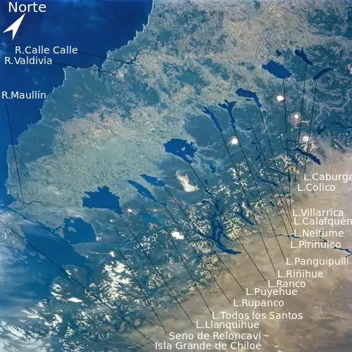 | |
|---|---|---|
| Waterfalls |
| |
| Lakes |
| |