Długie, Pomeranian Voivodeship
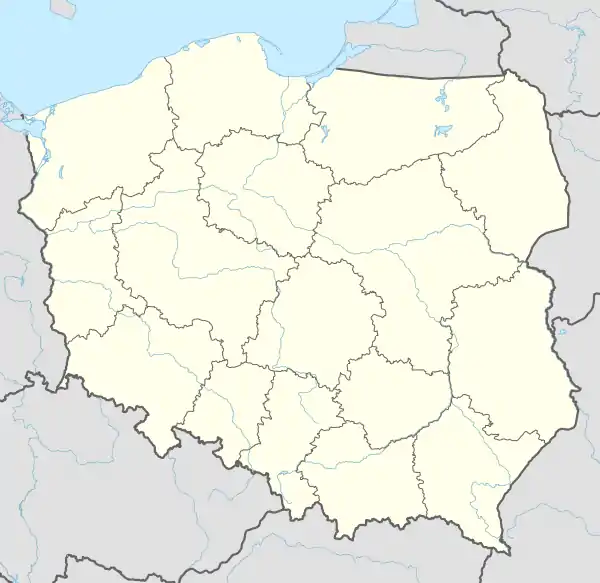
Długie [ˈdwuɡʲɛ] is a village in the administrative district of Gmina Osieczna, within Starogard County, Pomeranian Voivodeship, in northern Poland.[1] It lies approximately 10 kilometres (6 mi) east of Osieczna, 25 km (16 mi) south-west of Starogard Gdański, and 69 km (43 mi) south of the regional capital Gdańsk. It is located within the ethnocultural region of Kociewie in the historic region of Pomerania.
Długie | |
|---|---|
Village | |
 Długie 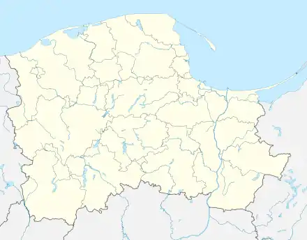 Długie | |
| Coordinates: 53°46′28″N 18°20′52″E | |
| Country | |
| Voivodeship | Pomeranian |
| County | Starogard |
| Gmina | Osieczna |
| Population | 80 |
| Time zone | UTC+1 (CET) |
| • Summer (DST) | UTC+2 (CEST) |
The village has a population of 80.
Długie was a royal village of the Polish Crown, administratively located in the Tczew County in the Pomeranian Voivodeship.[2] It was annexed by Prussia in the First Partition of Poland in 1772, and restored to Poland, after Poland regained independence in 1918.
References
- "Central Statistical Office (GUS) - TERYT (National Register of Territorial Land Apportionment Journal)" (in Polish). 2008-06-01.
- Marian Biskup, Andrzej Tomczak, Mapy województwa pomorskiego w drugiej połowie XVI w., Toruń, 1955, p. 110-111 (in Polish)
This article is issued from Wikipedia. The text is licensed under Creative Commons - Attribution - Sharealike. Additional terms may apply for the media files.