Depienne Airfield
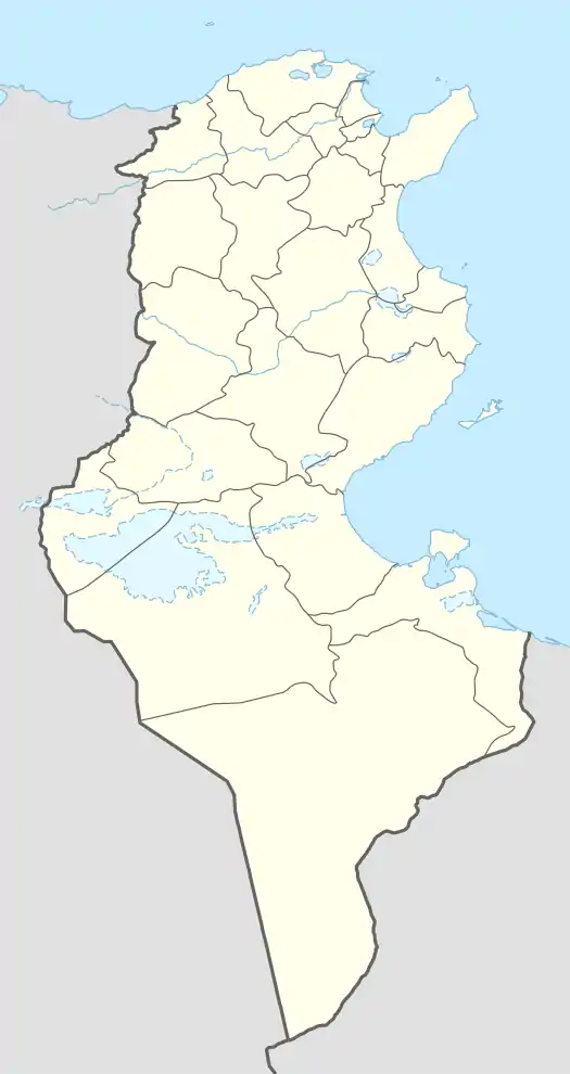
Depienne Airfield is a World War II airfield in Tunisia, located approximately 12 km northeast of El Fahs, and 53 km southwest of Tunis. The airfield was first used by the German Luftwaffe in 1941 and 1942, and was captured by the British Army by a parachute attack on 3 December 1942. It was later used by the United States Army Air Force Twelfth Air Force as a B-17 Flying Fortress heavy bomber airfield during the North African Campaign.
- HQ 5th Bombardment Wing, August–December 1943
- 97th Bombardment Group, 15 August-20 December 1943, B-17 Flying Fortress
Depienne Airfield.png.webp) .svg.png.webp) | |
|---|---|
| Part of Twelfth Air Force | |
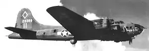
 B-17F 42-3399 "Rangy Lil" was assigned to the 347th Bomb Squadron in August 1943. and it is seen wearing the group's distinctive diamond Marking On the tail, along with the Roman II associated with the squadron. | |
| Coordinates | 36°25′49.25″N 010°00′31.30″E |
| Type | Military airfield |
| Site information | |
| Controlled by | United States Army Air Forces |
| Condition | inactive (still exists and use unknown) |
| Site history | |
| Built | 1941 |

In aerial imagery, the airfield looks almost like it did in 1943 and is probably the most well-preserved wartime bomber field in Tunisia. The runway, although deteriorated, along with all of the taxiways and aircraft hardstands are very much in evidence. It is unclear what the current use of the facility is.
See also
- Boeing B-17 Flying Fortress airfields in the Mediterranean Theater of Operations
References
![]() This article incorporates public domain material from the Air Force Historical Research Agency website http://www.afhra.af.mil/.
This article incorporates public domain material from the Air Force Historical Research Agency website http://www.afhra.af.mil/.
- Maurer, Maurer. Air Force Combat Units of World War II. Maxwell AFB, Alabama: Office of Air Force History, 1983. ISBN 0-89201-092-4.
- Maurer, Maurer, ed. (1982) [1969]. Combat Squadrons of the Air Force, World War II (PDF) (reprint ed.). Washington, DC: Office of Air Force History. ISBN 0-405-12194-6. LCCN 70605402. OCLC 72556.