Derrimut, Victoria
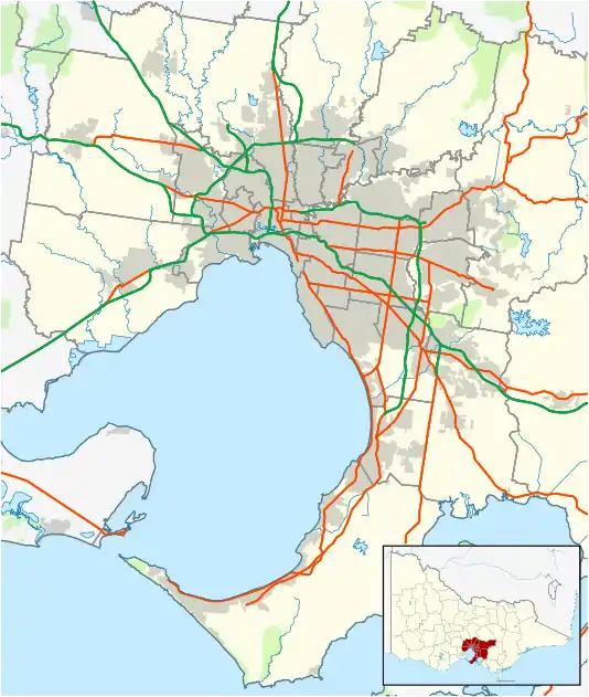
Derrimut is a suburb of Melbourne, Victoria, Australia, 17 km west of Melbourne's Central Business District, located within the City of Brimbank Local government area. It is on the lands of the Wurundjeri Woiwurrung people, of the Kulin Nation. Derrimut recorded a population of 8,269 at the 2016 Census.[1] It is bounded by Foleys Road to the north, Robinsons Road to the west, the Western Ring Road to the east and Boundary Road to the south. Derrimut is a newly developed suburb in Melbourne. It is named after Derrimut, a nineteenth-century Aboriginal Elder. Derrimut Post Office opened on 1 June 1866 in the rural area, but closed in 1918.[2]
| Derrimut Melbourne, Victoria | |||||||||||||||
|---|---|---|---|---|---|---|---|---|---|---|---|---|---|---|---|
 Derrimut | |||||||||||||||
| Coordinates | 37.795°S 144.766°E | ||||||||||||||
| Population | 8,269 (2016 census)[1] | ||||||||||||||
| • Density | 636/km2 (1,650/sq mi) | ||||||||||||||
| Postcode(s) | 3026 | ||||||||||||||
| Area | 13 km2 (5.0 sq mi) | ||||||||||||||
| Location | 17 km (11 mi) from Melbourne | ||||||||||||||
| LGA(s) | City of Brimbank | ||||||||||||||
| State electorate(s) | Kororoit | ||||||||||||||
| Federal Division(s) | |||||||||||||||
| |||||||||||||||
The area was home to the "Mount Derrimut" field station of the University of Melbourne from 1964 to 1996 . It focused on agriculture. The site was also used by the Western Institute to deliver courses in the late 1980s. Before being used by the university, it was used by ICI (now Orica) for training and conference purposes. The site is now occupied by the Sunshine Golf Club; the course opened in November 2007.
See also
- City of Sunshine - Derrimut was previously within this former local government area.
- Electoral district of Derrimut
References
- Australian Bureau of Statistics (27 June 2017). "Derrimut (State Suburb)". 2016 Census QuickStats. Retrieved 7 July 2017.

- Premier Postal History, Post Office List, retrieved 11 April 2008
