Dholai
Dholai is a Village in Narsingpur Tehsil in Cachar District of Assam State, India. It is located 30 km towards South from District headquarters Silchar. 22 km from Narsingpur
Dholai | |
|---|---|
Village | |
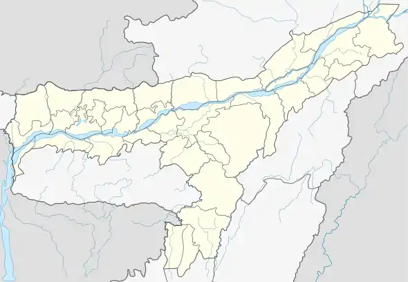 Dholai Location in Assam, India  Dholai Dholai (India) | |
| Coordinates: 24°35′44.7972″N 92°50′47.8572″E | |
| Country | |
| State | Assam |
| District | Cachar |
| Block | Narsingpur |
| Population (2015) | |
| • Total | 10,000 |
| Time zone | UTC+5:30 (IST) |
| Area code(s) | 03842 |
| ISO 3166 code | IN-AS |
About Dholai
Dholai is a Village in Narsingpur Tehsil in Cachar District of Assam State, India. It is located 30 km towards South from District headquarters Silchar. 22 km from Narsingpur. 235 km from State capital Dispur Dholai Pin code is 788114 and postal head office is Dholai Bazar.[1]
Geography
Dholai is located at 24° 35' 44.7972 N and 92° 50' 47.8572 E.[2] It has an average elevation of 26 metres (85.3018 feet).
Demographics
The population of Dholai village approximately 10,000.
Education
- Bam Nityananda Multi Purpose H.s School
- Ideal English School
- Rajendra Roy Memorial Junior College
Neighbourhood
- Bhaga Bazar
- Vairengte
- Lailapur
- Channighat
- Silchar
Neighbouring villages
- Narsingpur
- Channighat
- Chandpur
- Cleverhouse
- Derby
- Jamalpur
- Jibangram
- Kajidahar
- Nagdirgram
- Panibhora
- Puthikhal
- Rajnagar
- Saptagram
- Shawrertal
Connectivity
There is no railway station near Dholai within 30 km. However, Silchar Railway Station, a major railway station is 35 km from Dholai. NH 54 connects Silchar to Dholai en- route to Aizawl; vehicles regularly ply between Silchar to Dholai during Daytime.
References
- "Pin code of Dholai Bazar is 788114". Retrieved 28 June 2016.
- "Latitude Longitude of Dholai, Cachar". Retrieved 28 June 2016.