Dickinsons Corner, Virginia
Dickinsons Corner is an unincorporated community in King George County, Virginia.[1] The community is centered on the intersection of Dickinsons Corner Dr and Stoney Knoll Rd. Dickinsons Corner is named after Vinton Arlington Dickerson Sr. (1840-1906) who lived at the intersection between 1879 and 1906. During Vinton Dickerson's lifetime and after, the family name was spelled variantly as "Dickerson" and "Dickinson," stabilizing to just "Dickinson" by 1940.[2] The name of Dickinsons Corner has changed in tandem with the family name. It was originally called "Dickerson's Fork" (1903),[3] then "Dickersons Corner" (1930),[4] and finally "Dickinsons Corner" (1940),[5] the name that's been preserved until today. Vinton Dickerson was a veteran of the 47th Virginia Infantry, Company B.[6] He was a deacon and trustee of Round Hill Baptist Church, and according to his obituary, "a well-known citizen of King George County."[7]
Dickinsons Corner, Virginia | |
|---|---|
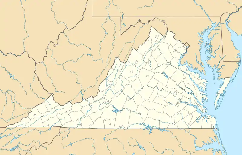 Dickinsons Corner Location within Virginia and the United States  Dickinsons Corner Dickinsons Corner (the United States) | |
| Coordinates: 38°12′37″N 77°04′05″W | |
| Country | United States |
| State | Virginia |
| County | King George |
| Time zone | UTC−5 (Eastern (EST)) |
| • Summer (DST) | UTC−4 (EDT) |

.jpg.webp)
References
- U.S. Geological Survey Geographic Names Information System: Dickinsons Corner, Virginia
- (1) Vinton Arlington Dickerson Sr. and his children on the United States Census, 1850-1940. (2) Vinton Arlington Dickerson Sr. and his children on King George County land and personal property tax lists, 1860-1927. King George County (Va.) Records, 1765-1970. Local government records collection,King George County Court Records. The Library of Virginia, Richmond, Va. 23219.
- King George County Road Surveyors Book (1875-1891), Page 31. King George County (Va.) County Administrative Records, 1850-1989. Local government records collection, King George County Court Records. The Library of Virginia, Richmond, Va. 23219.
- Map of King George County, VA / Showing County Road System, Official Census Map for King George County, 1930. "United States Enumeration District Maps for the Twelfth through the Sixteenth US Censuses, 1900-1940." FamilySearch, Roll 67, Vermont, Addison-Windsor; Virginia, Accomac-Norfolk 1900-1940 > image 217 of 904; citing NARA microfilm publication A3378 (Washington, D.C.: National Archives and Records Administration, 2003).
- General Highway and Transportation Map / King George and Stafford Counties; Official Census Map for King George and Stafford Counties, 1940. "United States Enumeration District Maps for the Twelfth through the Sixteenth US Censuses, 1900-1940." FamilySearch, Roll 67, Vermont, Addison-Windsor; Virginia, Accomac-Norfolk 1900-1940 > image 217 of 904; citing NARA microfilm publication A3378 (Washington, D.C.: National Archives and Records Administration, 2003).
- Musselman, H. D. (2010). 47th Virginia Infantry. United States: New Papyrus Company.
- (1) The Free Lance, 6 Oct 1906, Page 3; and (2) The Washington Post, 6 Oct 1906, Page 5.
Municipalities and communities of King George County, Virginia, United States | ||
|---|---|---|
| CDPs |
| 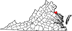 Map of Virginia highlighting King George County |
| Unincorporated communities |
| |
| ||