Doli Gutta
Doli Gutta is a mountain peak in the northern part of the Deccan Plateau. It is located at the border of Jayashankar Bhupalpally district[2] in Telangana and Bijapur district in Chhattisgarh, India.[1]
| Doli Gutta | |
|---|---|
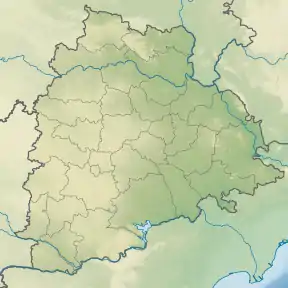 Doli Gutta Location of Doli Gutta peak | |
| Highest point | |
| Elevation | 965 m (3,166 ft) |
| Listing | List of Indian states and territories by highest point |
| Coordinates | 18°20′31″N 80°44′29″E [1] |
| Geography | |
| Location | Jayashankar Bhupalpally district, Telangana, India / Bijapur district, Chhattisgarh, India |
| Parent range | Deccan Plateau |
| Climbing | |
| Easiest route | Hike / scramble |
Highest point in Telangana
At 965 m Doli Gutta is possibly the highest mountain peak in the state of Telangana since the Chintoor and Vararamachandrapuram mandals of erstwhile Khammam district — where Pedda Konda rose to a height of 1360 m— were transferred to Andhra Pradesh.[1] Although naturally part of Telangana, on 11 July 2014, the Lok Sabha approved a bill transferring seven mandals of Khammam district (Kukunoor, Velairpadu, Bhurgampadu, Chintoor, Kunavaram, Vararamachandrapuram and Bhadrachalam) back to Andhra Pradesh, in order to facilitate the Polavaram Irrigation project.[3][4]
References
- "Wikimapia - Doli Gutta (965m) - Telangana Chhattisgarh border. Possibly highest point in Telangana".
- "Jayashankar district" (PDF). New Districts Formation Portal. Archived from the original (PDF) on 11 October 2016. Retrieved 11 October 2016.
- "The Andhra Pradesh Reorganisation (Amendment) Bill, 2014" Accessed 13 July 2014
- "Protests against Centre, Andhra Pradesh in Khammam over Polavaram Bill". Deccan Chronicle, 12 July 2014. Accessed 13 July 2014.