Donnybrook, Victoria
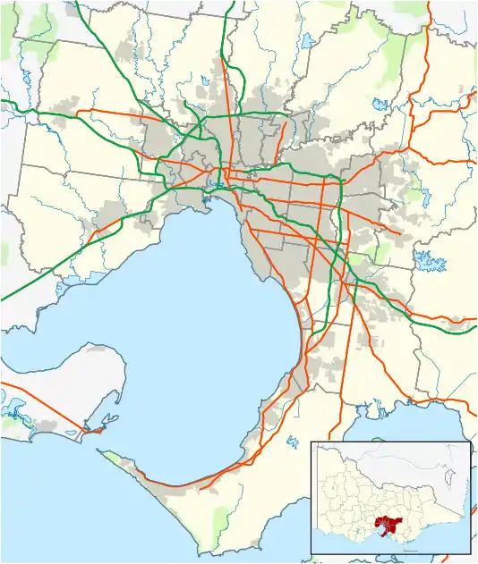
Donnybrook is a suburb of Melbourne, Victoria, Australia, 32 km north of Melbourne's Central Business District, located within the City of Whittlesea. It is bounded to the west by Merri Creek and in the east by Darebin Creek. At the 2016 Census, Donnybrook had a population of 169.
| Donnybrook Victoria | |||||||||||||||
|---|---|---|---|---|---|---|---|---|---|---|---|---|---|---|---|
 Donnybrook | |||||||||||||||
| Coordinates | 37.543°S 144.976°E | ||||||||||||||
| Population | 169 (2016)[1] | ||||||||||||||
| Postcode(s) | 3064 | ||||||||||||||
| LGA(s) | City of Whittlesea | ||||||||||||||
| State electorate(s) | Yan Yean | ||||||||||||||
| Federal Division(s) | McEwen | ||||||||||||||
| |||||||||||||||
The town consists of a railway station, general store, pub, spa and a small number of houses.
Future residential and commercial development
The Donnybrook area has a number of future development initiatives. These include:
History
The town was likely named after the Donnybrook Parish in Dublin.[5]
Kinlochewe Post Office opened in 1850 along the Hume Highway; it was known as Donnybrook from 1854 until 1874 and was then renamed Kalkallo.
The railway line was open in 1872 and the station and new village were named Donnybrook. Donnybrook Post Office opened in 1889.[6]
Books on Donnybrook
Jones, Michael Nature's Plenty: a history of the City of Whittlesea, Sydney, N.S.W. Allen & Unwin, 1992 ISBN 1863730761[7]
References
- Australian Bureau of Statistics (27 June 2017). "Donnybrook (State Suburb)". 2016 Census QuickStats. Retrieved 3 July 2017.

- https://vpa.vic.gov.au/project/donnybrook-woodstock/
- https://vpa.vic.gov.au/project/english-street/
- https://vpa.vic.gov.au/wp-content/uploads/2015/05/PSP691_NorthernQuarries_A3_newsletter.pdf
- http://www.victorianplaces.com.au/donnybrook-and-kalkallo
- Premier Postal History, Post Office List, retrieved 11 April 2008
- Jones, M. A. (Michael Anthony) (1992). Nature's plenty : a history of the city of Whittlesea. North Sydney: Allen & Unwin. ISBN 1863730761. OCLC 26454847.