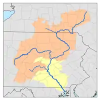
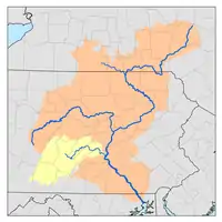
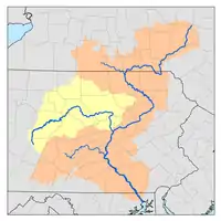
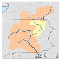
Dunning Creek
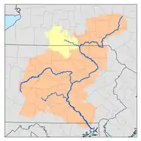
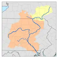
Dunning Creek is a 27.8-mile-long (44.7 km)[1] tributary of the Raystown Branch Juniata River in south west/south central Pennsylvania in the United States.[2]
Dunning Creek joins the Raystown Branch just downstream of Bedford.[2]
Bridges
- The Snooks Covered Bridge crosses Dunning Creek in East St. Clair Township.[3]
- The New Paris Covered Bridge crosses Dunning Creek at Napier Township.[4]
- The Dr. Knisley Covered Bridge crosses Dunning Creek at West St. Clair Township.[5]
See also
References
- U.S. Geological Survey. National Hydrography Dataset high-resolution flowline data. The National Map Archived 2012-04-05 at WebCite, accessed August 8, 2011
- Gertler, Edward. Keystone Canoeing, Seneca Press, 2004. ISBN 0-9749692-0-6
- "National Historic Landmarks & National Register of Historic Places in Pennsylvania" (Searchable database). CRGIS: Cultural Resources Geographic Information System. Note: This includes Susan M. Zacher and Barbara Hufnagel (n.d.). "National Register of Historic Places Inventory Nomination Form: Snooks Covered Bridge" (PDF). Retrieved 2011-11-19.
- "National Historic Landmarks & National Register of Historic Places in Pennsylvania" (Searchable database). CRGIS: Cultural Resources Geographic Information System. Note: This includes Susan M. Zacher and Barbara Hufnagel (n.d.). "National Register of Historic Places Inventory Nomination Form: New Paris Covered Bridge" (PDF). Retrieved 2011-11-19.
- "National Historic Landmarks & National Register of Historic Places in Pennsylvania" (Searchable database). CRGIS: Cultural Resources Geographic Information System. Note: This includes Susan M. Zacher and Barbara Hufnagel (n.d.). "National Register of Historic Places Inventory Nomination Form: Dr. Knisley Covered Bridge" (PDF). Retrieved 2011-11-19.
External links
This article is issued from Wikipedia. The text is licensed under Creative Commons - Attribution - Sharealike. Additional terms may apply for the media files.