Eureka Township, Adair County, Iowa
Eureka Township is one of the seventeen townships of Adair County, Iowa, United States. At the 2010 census, its population was 88.[1]
Eureka Township | |
|---|---|
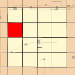 Location in Adair County | |
| Coordinates: 41°22′29″N 94°38′38″W | |
| Country | |
| State | |
| County | Adair |
| Area | |
| • Total | 35.59 sq mi (92.19 km2) |
| • Land | 35.54 sq mi (92.06 km2) |
| • Water | 0.05 sq mi (0.13 km2) 0.14% |
| Elevation | 1,306 ft (398 m) |
| Population (2010) | |
| • Total | 88 |
| • Density | 2.5/sq mi (1.0/km2) |
| Time zone | UTC-6 (CST) |
| • Summer (DST) | UTC-5 (CDT) |
| ZIP codes | 50846, 50849 |
| GNIS feature ID | 0467800 |
History
Eureka Township was organized in 1870.[2] "Eureka!" is said to have exclaimed by an early settler when he discovered coal within the township borders.[3]
Geography
According to the United States Census Bureau, Eureka Township covers an area of 35.59 square miles (92.19 square kilometers); of this, 0.05 square miles (0.13 square kilometers) or 0.14 percent is water.
Cities
Extinct towns
- Berea
Cemeteries
The township contains one cemetery, Eureka.
Major highways
Lakes
- Nodaway Lake
Landmarks
- Ken Sidey Nature Area County Park
- Nodaway Park
School districts
- Nodaway Valley
Political districts
- Iowa's 5th congressional district
- State House District 58
- State Senate District 29
References
- United States Census Bureau 2007 TIGER/Line Shapefiles
- United States Board on Geographic Names (GNIS)
- United States National Atlas
- "IA - Eureka township". United States Census Bureau. Archived from the original on April 9, 2013. Retrieved March 17, 2013.
- History of Guthrie and Adair Counties, Iowa. Continental Historical Company. 1884. pp. 837.
- Kilburn, Lucian Moody (1915). History of Adair County, Iowa, and Its People, Volume 1. Pioneer Publishing Company. p. 167.
External links
Municipalities and communities of Adair County, Iowa, United States | ||
|---|---|---|
| Cities | Map of Iowa highlighting Adair County | |
| Townships | ||
| Unincorporated communities | ||
| Footnotes | ‡This populated place also has portions in an adjacent county or counties | |
| ||
This article is issued from Wikipedia. The text is licensed under Creative Commons - Attribution - Sharealike. Additional terms may apply for the media files.