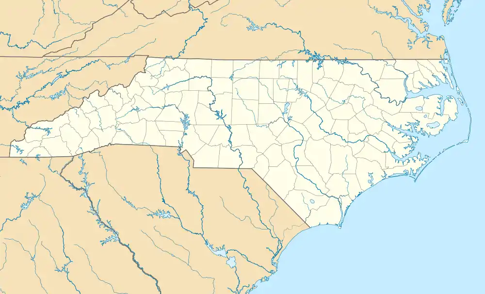
Fruitland, Henderson County, North Carolina
Fruitland is an unincorporated community and census-designated place (CDP) in Henderson County, North Carolina, United States. Its population was 2,031 as of the 2010 census.[2]
Fruitland, Henderson County, North Carolina | |
|---|---|
 Fruitland  Fruitland | |
| Coordinates: 35°23′47″N 82°23′35″W | |
| Country | United States |
| State | North Carolina |
| County | Henderson |
| Area | |
| • Total | 8.055 sq mi (20.86 km2) |
| • Land | 8.026 sq mi (20.79 km2) |
| • Water | 0.029 sq mi (0.08 km2) |
| Elevation | 2,215 ft (675 m) |
| Population | |
| • Total | 2,031 |
| • Density | 250/sq mi (97/km2) |
| Time zone | UTC-5 (Eastern (EST)) |
| • Summer (DST) | UTC-4 (EDT) |
| Area code(s) | 828 |
| GNIS feature ID | 985471[3] |
| FIPS code | 37-25160 |
History
A post office called Fruitland was established in 1883, and remained in operation until 1906.[4] The community was named for apple orchards near the original town site.[5]
Geography
Fruitland is in northeastern Henderson County, 7 miles (11 km) northeast of Hendersonville, the county seat. U.S. Route 64 runs along the southern edge of the CDP, leading west to Hendersonville and northeast 8 miles (13 km) to Bat Cave. Asheville is 19 miles (31 km) to the northwest via Terrys Gap Road.
According to the U.S. Census Bureau, the Fruitland CDP has a total area of 8.1 square miles (20.9 km2), of which 0.03 square miles (0.07 km2), or 0.35%, are water.[6]
References
- "US Gazetteer files: 2010, 2000, and 1990". United States Census Bureau. 2011-02-12. Retrieved 2011-04-23.
- "U.S. Census website". United States Census Bureau. Retrieved 2011-05-14.
- "Fruitland". Geographic Names Information System. United States Geological Survey.
- "Henderson County". Jim Forte Postal History. Archived from the original on 24 May 2015. Retrieved 23 May 2015.
- Kramp, Penn (Feb 22, 1987). "Tuxedo: It's not formal wear". The Times-News. p. 27. Retrieved 23 May 2015.
- "Geographic Identifiers: 2010 Census Summary File 1 (G001): Fruitland CDP, North Carolina". American Factfinder. U.S. Census Bureau. Archived from the original on February 13, 2020. Retrieved December 19, 2017.
