Gaižiūnai
Gaižiūnai is a village in Jonava district municipality, Lithuania. It is situated on the Taurosta River, tributary of Neris, about 3 km (1.9 mi) southeast of Jonava and 25 km (16 mi) northeast of Kaunas.[1] The railroad from Šiauliai forks into Kaunas and Vilnius near the village. Gaižiūnai is also known as a military base.
Gaižiūnai | |
|---|---|
Village | |
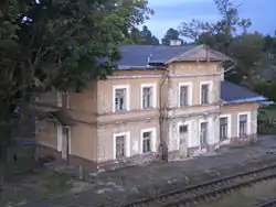
 The old train station | |
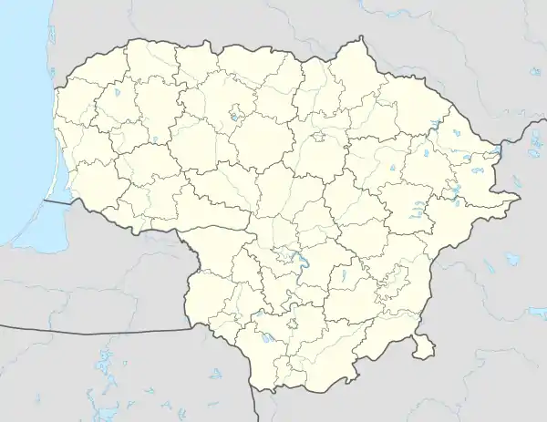
 Gaižiūnai Location of Gaižiūnai | |
| Coordinates: 55°02′10″N 24°19′50″E | |
| Country | |
| Ethnographic region | Aukštaitija |
| County | |
| Municipality | Jonava district municipality |
| Eldership | Dumsiai eldership |
| First mentioned | 1604 |
| Population (2011) | |
| • Total | 167 |
| Time zone | UTC+2 (EET) |
| • Summer (DST) | UTC+3 (EEST) |
Military base
The old military training ground in Varėna could not be used by the Lithuanian Army as it was too close to the demarcation line with Poland and stirred Polish protests.[2] Therefore in 1930 the army bought some 80 km2 (31 sq mi) of land, mostly pine forest, bog, and sandy soil unsuitable for agriculture. The new training grounds included an airfield, railway connection, and numerous buildings for the soldiers.[2] In 1939, according to the Soviet–Lithuanian Mutual Assistance Treaty, about 5,000 Russian soldiers were stationed in the military base.[1][3] After World War II, the Soviets expanded the base and built a military town in Rukla. When Lithuania regained its independence the bases were adopted for its needs.
References
- Simas Sužiedėlis, ed. (1970–1978). "Gaižiūnai". Encyclopedia Lituanica. II. Boston, Massachusetts: Juozas Kapočius. pp. 261–262. LCC 74-114275.
- Kviklys, Bronius (1965). Mūsų Lietuva (in Lithuanian). II. Boston: Lietuvių enciklopedijos leidykla. p. 368. OCLC 3303503.
- Arvydas Anušauskas; et al., eds. (2005). Lietuva, 1940–1990 (in Lithuanian). Vilnius: Lietuvos gyventojų genocido ir rezistencijos tyrimo centras. pp. 41–43. ISBN 9986-757-65-7.
| Wikimedia Commons has media related to Gaižiūnai. |
