Gaularfjellet
Gaularfjellet is a mountain area in central Vestland county, Norway. The mountains is crossed by the border between the municipalities of Sunnfjord and Sogndal. Norwegian County Road 613 (formerly Norwegian County Road 13, Norwegian National Road 13 and Norwegian National Road 5) crosses the mountains through a pass that follows the river Gaula, and has a hairpin road.[2][3]
| Gaularfjellet | |
|---|---|
 | |
| Highest point | |
| Peak | Sunnfjordbjørnen, Sunnfjord/Sogndal, Norway |
| Elevation | 1,615 m (5,299 ft) |
| Coordinates | 61.4135°N 6.5290°E |
| Geography | |
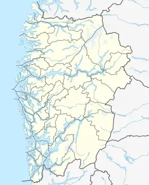 Gaularfjellet Location of the mountain  Gaularfjellet Gaularfjellet (Norway) | |
| Location | Vestland, Norway |
| Range coordinates | 61.3541°N 6.4788°E[1] |
See also
References
- "Gaularfjellet, Balestrand (Sogn og Fjordane)" (in Norwegian). yr.no. Retrieved 2019-06-30.
- "Gaularfjellet". Norwegian Public Roads Administration. Archived from the original on 5 October 2011. Retrieved 5 October 2011.
- Askheim, Svein, ed. (2019-09-20). "Gaularfjellet". Store norske leksikon (in Norwegian). Kunnskapsforlaget. Retrieved 2019-11-11.
This article is issued from Wikipedia. The text is licensed under Creative Commons - Attribution - Sharealike. Additional terms may apply for the media files.