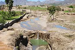
Ghalanai
Ghalanai (Pashto: غلنۍ) is a town in the former Federally Administered Tribal Areas of Pakistan. It is located at 34°19'16N 71°24'0E with an altitude of 651 metres (2139 feet).[2] It is currently the administrative capital and main town of the Mohmand Agency
Ghalanai
غلنۍ | |
|---|---|
Town | |
 | |
 Ghalanai  Ghalanai | |
| Coordinates: 34°19′27″N 71°23′54″E | |
| Country | |
| Territory | |
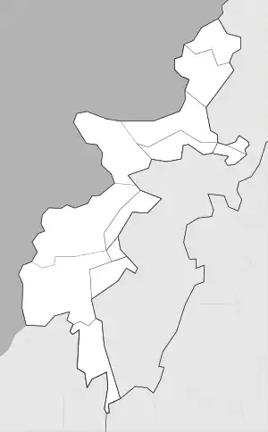
| Agency | Mohmand Agency |
| Tehsil | Halim Zai |
| Elevation | 651 m (2,136 ft) |
| Population | |
| • Total | 6,422 |
| Time zone | UTC+5 (PST) |
References
- "POPULATION AND HOUSEHOLD DETAIL FROM BLOCK TO DISTRICT LEVEL: FATA (MOHMAND AGENCY)" (PDF). www.pbscensus.gov.pk. 2018-01-03. Archived from the original (PDF) on 2018-04-01. Retrieved 2018-03-31.
- Location of Ghalanai - Falling Rain Genomics
Ghalanai consist of six main villages, miangan, wazir kalay,pagul kor, Ggyani, naway kaly and buneer kaly in which Ghalanai Akhonzadgan is the oldest village and the village called Ghalanai akhonzadgan and later the other Surrounding villages adopted the name and now Ghalanai is expanding.
This article is issued from Wikipedia. The text is licensed under Creative Commons - Attribution - Sharealike. Additional terms may apply for the media files.