Gmina Sieciechów
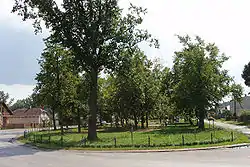
Gmina Sieciechów is a rural gmina (administrative district) in Kozienice County, Masovian Voivodeship, in east-central Poland. Its seat is the village of Sieciechów, which lies approximately 14 kilometres (9 mi) east of Kozienice and 91 km (57 mi) south-east of Warsaw.
Gmina Sieciechów | |
|---|---|
 | |
 Coat of arms | |
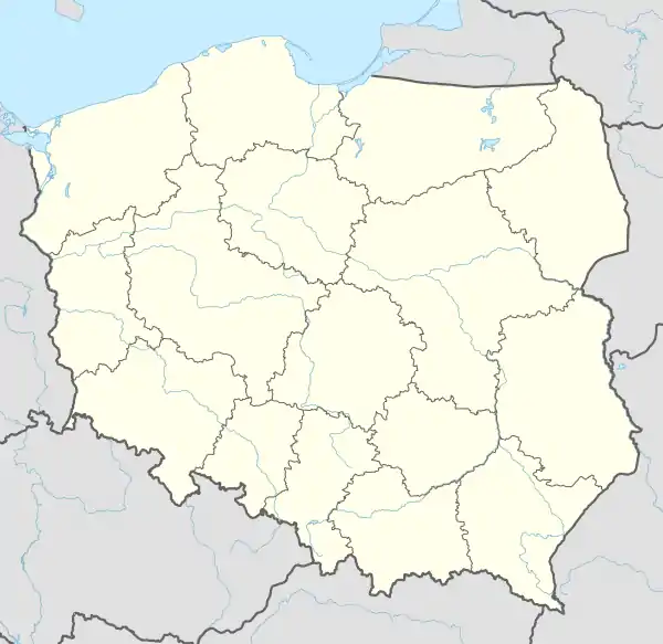 Gmina Sieciechów Map of Poland | |
| Coordinates (Sieciechów): 51°32′21″N 21°44′41″E | |
| Country | |
| Voivodeship | |
| County | |
| Seat | Sieciechów |
| Government | |
| • Wójt | Kazimierz Pochylski |
| Area | |
| • Total | 61.26 km2 (23.65 sq mi) |
| Population (2006) | |
| • Total | 4,271 |
| • Density | 70/km2 (180/sq mi) |
26-922 | |
| Phone area code(s) (within Poland) | 48 xxx xx xx |
| Car plates | WKZ |
| Website | http://www.sieciechow.pl |
The gmina covers an area of 61.26 square kilometres (23.7 sq mi), and as of 2006 its total population is 4,271.
Villages
Gmina Sieciechów contains the villages and settlements of Głusiec, Kępice, Łoje, Mozolice Duże, Mozolice Małe, Nagórnik, Nowe Słowiki, Opactwo, Sieciechów, Słowiki-Folwark, Stare Słowiki, Wola Klasztorna, Wólka Wojcieszkowska, Występ, Zajezierze and Zbyczyn.
Neighboring gminas
Gmina Sieciechów is bordered by the town of Dęblin and by the gminas of Garbatka-Letnisko, Gniewoszów, Kozienice, Puławy and Stężyca.
References
| Wikimedia Commons has media related to Gmina Sieciechów. |
| Seat | ||
|---|---|---|
| Other villages | ||
| Seat |  | |
|---|---|---|
| Urban-rural gmina | ||
| Rural gminas | ||