Goodhope River
The Goodhope River is a stream, 46 miles (74 km) long, on the Seward Peninsula in the U.S. state of Alaska.[1] It heads about 5.3 miles (8.5 km) west-southwest of Cloud Lake and flows generally northeast to Goodhope Bay on Kotzebue Sound of the Chukchi Sea.[1] The river mouth is about 27 miles (43 km) west of Cape Deceit and Deering in the Northwest Arctic Borough.[1] The entire course of the river lies within the Bering Land Bridge National Preserve.[3]
| Goodhope River | |
|---|---|
.jpg.webp) | |
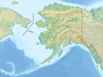 Location of the mouth of the Goodhope River in Alaska | |
| Location | |
| Country | United States |
| State | Alaska |
| Borough | Northwest Arctic |
| Physical characteristics | |
| Source | About 5.3 miles (8.5 km) west-southwest of Cloud Lake |
| • location | Seward Peninsula |
| • coordinates | 65°42′49″N 163°23′18″W[1] |
| • elevation | 1,258 ft (383 m)[2] |
| Mouth | Goodhope Bay on Kotzebue Sound of the Chukchi Sea |
• location | About 27 miles (43 km) west of Cape Deceit and Deering |
• coordinates | 66°04′29″N 163°44′17″W[1] |
• elevation | 0 ft (0 m)[1] |
| Length | 46 mi (74 km)[1] |
The river name derives from "Goodhope Bay". Explorer Otto von Kotzebue assigned the name to the bay, which he visited in 1816, because he had good hope of making important geographic discoveries in the region.[4] The river's Inupiat name was reported in 1998 as Pittam Kuurua.[1]
See also
References
- "Goodhope River". Geographic Names Information System. United States Geological Survey. January 1, 2000. Retrieved September 19, 2013.
- Derived by entering source coordinates in Google Earth.
- Alaska Atlas & Gazetteer (7th ed.). Yarmouth, Maine: DeLorme. 2010. p. 132. ISBN 978-0-89933-289-5.
- "Goodhope Bay". Geographic Names Information System. United States Geological Survey. January 1, 2000. Retrieved September 19, 2013.
This article is issued from Wikipedia. The text is licensed under Creative Commons - Attribution - Sharealike. Additional terms may apply for the media files.