Gornji Mihaljevec
Gornji Mihaljevec (Hungarian: Felsőmihályfalva) is a village and municipality in Međimurje County, in northern Croatia.
Gornji Mihaljevec | |
|---|---|
Municipality | |
 Church of Saint Catherine | |
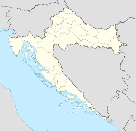 Gornji Mihaljevec Location of Gornji Mihaljevec in Croatia | |
| Coordinates: 46°26′N 16°22′E | |
| Country | |
| County | Međimurje |
| Government | |
| • Municipal mayor | Goran Lovrec |
| Area | |
| • Total | 32.15 km2 (12.41 sq mi) |
| Population (2011)[2] | |
| • Total | 1,917 |
| • Density | 60/km2 (150/sq mi) |
| • Village | 283 |
| Time zone | UTC+1 (CET) |
| • Summer (DST) | UTC+2 (CEST) |
| Postal code | 40000 Čakovec |
| Website | gornjimihaljevec.hr |
History
Oldest archaeological finds in Gornji Mihaljevec municipality are from Roman period. Fragments of the roman roads were found in villages of Preseka, Prhovec, Martinuševec and Tupkovec. This fragments are part of road that led from Poetovio to Carnuntum [3]
The settlement Gornji Mihaljevec is first time mentioned in charter issued in year 1478 as Michalowecz Maius.[4] In year 1789 Catholic parish of Saint Catherine was established in Gornji Mihaljevec.[5]
In October 1931 villages Badličan, Preseka, and Prhovec were separated from Čakovec District and the rest of Međimurje and placed under authority of Ptuj District in Drava Banovina. But only month later, in November 1931, all three villages were again reincorporated in Međimurje.[6]
Municipality of Gornji Mihaljevec was established in year 1997.[7]
Geography

Gornji Mihaljevec is located in part of Međimurje called Gornje Međimurje at border with Slovenia. Village of Gornji Mihaljevec, municipality centre, is about 15 kilometres west from Čakovec, and some 100 kilometres north of Zagreb. The municipality covers an area of 32.15 km2.[1]
Landscape of Gornji Mihaljevec consist of low hills called Međimurske gorice, covered with vineyards, orchards and woodlands. There is a border crossing with Slovenia in village of Preseka.[8] Border crossing connects municipality with village of Središče ob Dravi .
Demographics
In the 2011 census, the municipality had a population of 1,917 in 12 villages.[2] Gornji Mihaljevec is experiencing population decline since the 1950s. The majority of inhabitants are Croats making up 97% of population.[9]
|
| ||||||||||||||||||||||||||||||||||||
| [2][10] | |||||||||||||||||||||||||||||||||||||
Settlements
| Village | Population[2] (2011) |
|---|---|
| Badličan | 96 |
| Bogdanovec | 136 |
| Dragoslavec Breg | 129 |
| Dragoslavec Selo | 214 |
| Gornja Dubrava | 226 |
| Gornji Mihaljevec | 283 |
| Martinuševec | 127 |
| Preseka | 67 |
| Prhovec | 138 |
| Tupkovec | 88 |
| Vugrišinec | 164 |
| Vukanovec | 249 |
| TOTAL | 1,917 |
Culture
The church of Saint Catherine was built at the end of 17th century at the site of former wooden chapel.[11]
References
- "Prostorni plan uređenja općine Gornji Mihaljevec" (in Croatian). Zavod za prostorno uređenje Međimurske Županije. October 2005. p. 6. Retrieved 2020-11-30.
- "Population by Age and Sex, by Settlements, 2011 Census: Gornji Mihaljevec". Census of Population, Households and Dwellings 2011. Zagreb: Croatian Bureau of Statistics. December 2012.
- Marciuš, Branka (2015). "Rimska cesta od sela Preseka do Svetog Martina na Muri u Međimurju" [Roman Road from the Village of Preseka to Sveti Martin na Muri in Međimurje]. Godišnjak zaštite spomenika kulture Hrvatske (in Croatian). Ministarstvo Kulture RH. 39. Retrieved November 30, 2020 – via HRČAK.
- "8143". Hungaricana. Retrieved November 29, 2020.
- "Gornji Mihaljevec kroz povijest". Općina Gornji Mihaljevec. Retrieved November 30, 2020.
- Grgić, Stipica (2014). Uprava u Savskoj banovini (1929.-1939.) – između državnog centralizma I supsidijarnosti [Administration in the Sava Banovina (1929-1939) – Between state centralism and subsidiaritx] (Thesis) (in Croatian). p. 158. Retrieved November 30, 2020.
- "2018 – Statistical Yearbook of the Republic of Croatia" (PDF). Croatian Bureau of Statistics. December 2018. p. 74. Retrieved November 30, 2020.
- "Granični prijelazi na području policijske uprave Međimurske". Policijska uprava Međimurska. Retrieved November 25, 2020.
- "Population by Ethnicity, by Towns/Municipalities, 2011 Census: County of Međimurje". Census of Population, Households and Dwellings 2011. Zagreb: Croatian Bureau of Statistics. December 2012.
- "Naselja i stanovništvo Republike Hrvatske". Croatian Bureau of Statistics. Retrieved 30 November 2020.
- "Prostorni plan uređenja općine Gornji Mihaljevec" (in Croatian). Zavod za prostorno uređenje Međimurske Županije. October 2005. p. 18. Retrieved 2020-11-30.
Subdivisions of Međimurje County | ||
|---|---|---|
| Towns |
| .svg.png.webp) Coat of arms of Međimurje County |
| Municipalities | ||
| Authority control |
|
|---|