Grabbist Hillfort
Grabbist Hillfort is an Iron Age oval hillfort or defended enclosure, west of Dunster in Somerset, England.
| Grabbist Hillfort | |
|---|---|
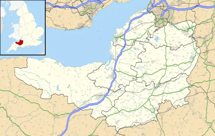 Grabbist hillfort shown within Somerset | |
| Location | Somerset, England |
| Coordinates | 51.18318°N 3.456454°W |
| Built | During the Iron Age |
| Architectural style(s) | British pre-Roman Architecture |
| Official name | Grabbist |
| Designated | August 11, 2003 |
| Reference no. | 36851[1] |
The site is 885.8 feet (270.0 m) long and 219.8 feet (67.0 m) wide, and is surrounded by a counterscarp, which measures 4.2 to 6.2 feet (1.3 to 1.9 m) in height. It is also surrounded by a ditch, which ranges up to 32.8 feet (10.0 m) wide and 7.2 feet (2.2 m) deep.[1] The bank has a peak height of 9.8 feet (3 m), and, on the northern and western sides, there is a second bank, which leads to the northeastern corner being the most strongly defended.[2] Ploughing over the years has damaged or erased some of the original features including a possible inner rampart.[3][4] If it was a hillfort it is believed to be unfinished.[5]
An area just below the site is known as the "Giant's Chair" which is a depression formed by land slippage.[3]
References
- "Monument No. 36851". National Monuments Record. English Heritage. Archived from the original on 2 October 2012. Retrieved 23 March 2011.
- "Grabbist Hillfort". Exmoor Historic Environment Record. English Heritage. Retrieved 23 March 2011.
- "MSO9408 - Grabbist Hillfort". Exmoor Historic Environment Record. Exmoor National Park. Retrieved 3 October 2016.
- Rothwell, Henry. "Grabbist Hillfort, Grabbist Hill, Dunster, Somerset". Digital Digging. Retrieved 3 October 2016.
- "Hillfort on Grabbist Hill, 275m south west of St Leonard's Well". National heritage List for England. Historic England. Retrieved 3 October 2016.
