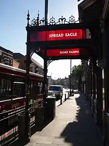
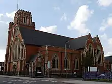
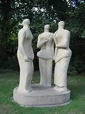
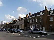
Grade II listed buildings in the London Borough of Wandsworth
This page is a list of classified buildings Grade IIs in the London Borough of Wandsworth.
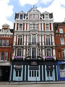
_Arding_and_Hobbs_store%252C_Lavender_Hill%252C_Battersea.jpg.webp)
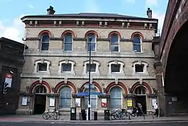
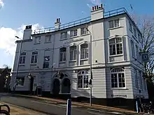
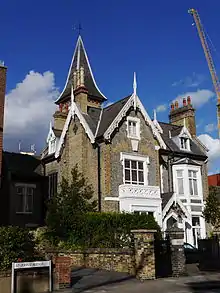
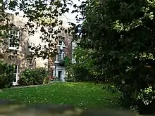
.jpg.webp)
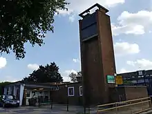
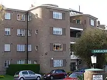
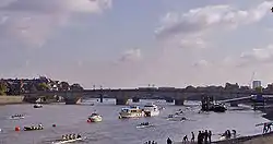
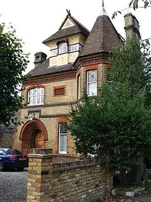
%252C_Wandsworth_-_London._(8221375282).jpg.webp)
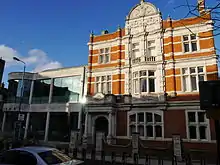
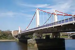
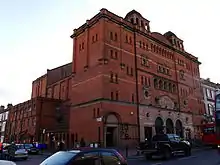
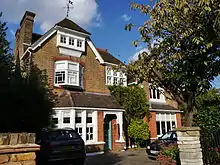
.jpg.webp)

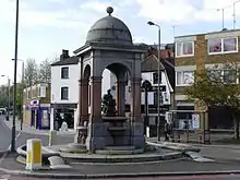
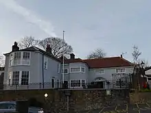
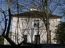
.jpg.webp)
Notes
- The date given is the date used by Historic England as significant for the initial building or that of an important part in the structure's description.
- Sometimes known as OSGB36, the grid reference is based on the British national grid reference system used by the Ordnance Survey.
- The "List Entry Number" is a unique number assigned to each listed building and scheduled monument by Historic England.
External links
 Media related to Grade II listed buildings in the London Borough of Wandsworth at Wikimedia Commons
| Districts |
|  |
|---|---|---|
| Attractions |
| |
| Bridges and tunnels | ||
| Parks and open spaces | ||
| Constituencies | ||
| Tube and rail stations | ||
| Other topics |
| |
| ||
This article is issued from Wikipedia. The text is licensed under Creative Commons - Attribution - Sharealike. Additional terms may apply for the media files.