Granger-Hunter, Utah
Granger-Hunter was a census-designated place in Salt Lake County, Utah, USA, during the 1970 United States Census.[3] which comprises the communities of Granger and Hunter. The population in 1970 was 9,029.[3] The census area, along with the neighboring community of Redwood, became part of the newly created West Valley City in 1980.[4] The ZIP code serving the area is 84119.
Granger-Hunter | |
|---|---|
Former CDP | |
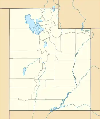
 Granger-Hunter Location within the state of Utah  Granger-Hunter Granger-Hunter (the United States) | |
| Coordinates: 40°42′24″N 111°58′43″W | |
| Country | United States |
| State | Utah |
| Counties | Salt Lake |
| Area | |
| • Land | 1.2 sq mi (3.1 km2) |
| Elevation | 4,255.25 ft (1,297.00 m) |
| Population (1970) | |
| • Total | 9,029 |
| Time zone | UTC-7 (Mountain (MST)) |
| • Summer (DST) | UTC-6 (MDT) |
| ZIP code | 84119 |
| Area code(s) | 801[1] |
| FIPS code | 49-30790[2] |
Geography
Located at 40.706543 north and 111.978487 west, the census area of Granger-Hunter was located southwest of Salt Lake City, northeast of Kearns and east of Magna.[3] The land area of the CDP was 1.2 square miles and a housing unit count of 2,101.[5]
References
- Utah Area Codes. AllAreaCodes.com. Retrieved 10 September 2013.
- Granger-Hunter, Utah. Roadside Thoughts. Retrieved 10 September 2013.
- United States. Bureau of the Census: 1970 Census of Population: Missouri-Wyoming, Puerto Rico, and outlying areas, Retrieved 10 September 2013
- West Valley City, UT - Official Site - Timeline. Retrieved 10 September 2013.
- U.S. Department of Commerce, Bureau of the Census, 1973: County and City Data Book. Retrieved 10 September 2013.
External links
This article is issued from Wikipedia. The text is licensed under Creative Commons - Attribution - Sharealike. Additional terms may apply for the media files.
