Granville Fjord
Granville Fjord (Greenlandic: Iterlassuaq) is a fjord in Avannaata municipality, Northwest Greenland.[1]
| Granville Fjord | |
|---|---|
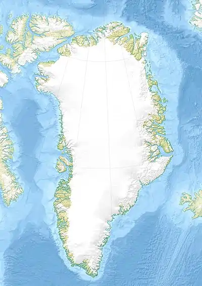 Granville Fjord Location in Greenland | |
| Location | Arctic |
| Coordinates | 76°52′N 70°1′W |
| Native name | Iterlassuaq |
| Ocean/sea sources | Baffin Bay |
| Basin countries | Greenland |
| Max. length | 35 km (22 mi) |
| Max. width | 4 km (2.5 mi) |
Geography
Granville Fjord is located in Steensby Land, in the stretch of coast between Cape York and Cape Alexander. It is located west of the Wolstenholme Fjord, [2] close to the Moriusaq Inuit settlement.[3]
The fjord's mouth is located NW of Saunders Island, to the WNW of the Wolstenholme Fjord, between the points of Manussaq and Uvdlisautinguag. Cape Peary is the headland on the eastern side of the mouth. The fjord stretches for about 35 km (22 mi) in a roughly NE/SW direction and its shores are lined by ice-covered mountains. The Berlingske Glacier has its terminus at the head of the fjord.[2]
Three Sister Bees are a group of small and flat islands that lie at the mouth of the fjord.
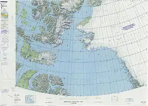 Map of Northwestern Greenland |
See also
References
- "Granville Fjord". Mapcarta. Retrieved 9 May 2019.
- Prostar Sailing Directions 2005 Greenland and Iceland Enroute, p. 77
- Geology of Greenland Survey Bulletin 174, 1997, p. 120 - GEUS
External links
- Retreating glacier in Granville Fjord, bergy bits float in a pool at its foot. North West Greenland.