Greenala Point
Greenala Point is a headland on the south coast of Pembrokeshire, Wales, about a 5-kilometre (3-mile) walk south from Pembroke. As part of the former Stackpole Estate, it was acquired by the National Trust in 1976.[1]
| Greenala Point | |
|---|---|
.jpg.webp) The fort, viewed from the west with the Pembrokeshire Coast Path in the foreground | |
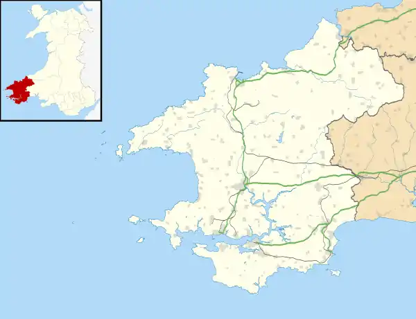 Shown within Pembrokeshire | |
| Location | near Pembroke |
| OS grid | SS 006 966 |
| Coordinates | 51°37′57″N 4°52′54″W |
| Area | 1.8 hectares (4.4 acres) |
| Operator | National Trust |
| Designation | Scheduled monument |
The Pembrokeshire Coast Path passes through the western ramparts of the fort on Greenala Point.[2]
Promontory fort
The Iron Age promontory fort, known as Greenala Point Fort or Greenala Camp is a scheduled monument.[3]
The fort, occupying 1.8 hectares (4.4 acres), is defended on the east and south by sandstone cliffs, and to the north by the terracing of a steep slope; the innermost of the four resulting slopes has a height of nearly 5 metres (16 ft).
The interior of the fort, area 0.4 hectares (1.0 acre), is bordered on the west by a straight bank, of which the outer face is nearly 4 metres (13 ft) above a triangular annexe. Beyond this is a series of three banks and ditches.[3] The Pembrokeshire Coast Path passes through these western ramparts.[2]
There has been coastal erosion, and the fort was once larger; there are traces of defences on at least one of the adjacent stacks.[3]
References
| Wikimedia Commons has media related to Greenala Point. |
- "Timeline of Stackpole's Past" National Trust. Retrieved 11 November 2020.
- "Broad Haven South to Skrinkle Haven" Pembrokeshire Coast. Retrieved 10 November 2020.
- "Greenala Point Fort; Greenala Camp" Coflein. Retrieved 10 November 2020.
