Guriel District
Guriel District (Somali: Degmada Guriceel) is one of the districts in the central Galguduud region of Somalia. Its capital is Guriel [1]
Guriel District
Degmada Guriceel الثلاثاء | |
|---|---|
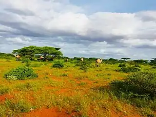
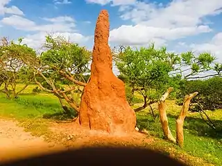
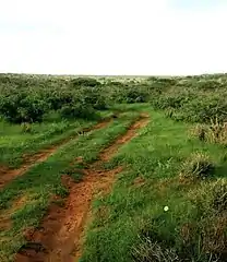
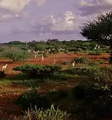
 countryside of Guriel District | |
| Country | |
| Region | Galguduud |
| Capital | Guriel |
| Area | |
| • Total | 52 km2 (20 sq mi) |
| Population (2020) | |
| • Total | 300,000 |
| Time zone | UTC+3 (EAT) |
Villages, towns, and cities
Guriel district has 120 villages, towns and city.
List of villages, towns and the city of Guriel of Guriel district.
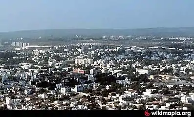
Outskirts of Guriel City.
- Guriel (Capital)
- Wara-Dhumale
- El Dhere
- Dhagahyale
- Diriye hasan
- Doyale
- Cali hasan
- Barlef
- Dabare
- Cali Jir
- Godwil
- Iluule
- Ramale
- el-baraf
- Gala-qoryale
- Bulbul
- Kora goys
- Habar-Cirir
- Ina Cabad
- Baa
- Guled bogcad
- Gofado
- Xajinle
- Dabayodley
- Lanle
- Marodile
- Labiley
- Yanyaley
- El-habred
- Benyaley
- Dhanforaris
- Qotalo
- Balihowd
- balidaqaf
- Xabadale
- Alalale
- Foley
- Marere
- Jicle
- Xersi lugey
- Dumaye
- Ilix
- Afcegag
- Bar Siyable
- Tosan Dher
- Sina Dhaqo
- Labi Dulle
- Isma Dhaqo
- lamo Fanax
- Tulo Cano
- Galqoryaale
- Yibirsuge
- Gabun
- Darood Ceynshe
- Qaydar
- Ribadle
- Lan Ijaabo
- Buhod
- Dabeyl
- Kadhakole
- Ariqarof
- Balli-Dhig
- Garasle
- Balli Sharaf
- Xodale
- Golangole
- Miiryahudle
- Idow
- Hertis
- Xulfadi axmed gurey
- Shed Gadud
- Cilmi Joowle
- Dudubley
- Labi Hiraan
- Dadale
- Odale
- Balicad
- Cilmi jowle
- Lamo
- Walomoge
- Jora Jowhar
- Salaxdhadhab
- Bobdhere
- Bole
- Dabare
- Bulo Shiikh
- Lebi Dulo
- Degayare
- Farmalagle
- Goragiahor
And many other villages, towns and cities.
Gallery
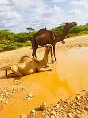
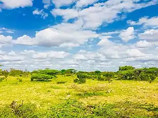
- Guriceel District Countryside


References
This article is issued from Wikipedia. The text is licensed under Creative Commons - Attribution - Sharealike. Additional terms may apply for the media files.