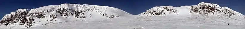
Hallingskarvet
Hallingskarvet is a mountain range in southern Norway stretching from Geilo to Finse in Vestland and Viken counties. The highest point is the 1,933-metre (6,342 ft) tall mountain Folarskardnuten in Hol Municipality in Viken county.
| Hallingskarvet | |
|---|---|
 | |
| Highest point | |
| Peak | Folarskardnuten, Hol, Viken |
| Elevation | 1,933 m (6,342 ft) |
| Coordinates | 60.6128°N 7.7861°E |
| Dimensions | |
| Length | 35 km (22 mi) |
| Geography | |
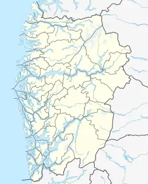 Location of the mountain 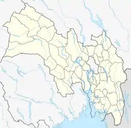 Hallingskarvet (Viken (county))  Hallingskarvet (Norway) | |
| Location | Vestland and Viken, Norway |
| Range coordinates | 60.6128°N 7.6662°E[1] |
In the north, there is a large dammed lake called Strandavatnet. The Bergen Line railway, which runs south of Hallingskarvet, has its highest stop at Finse Station at an elevation of 1,222 metres (4,009 ft).[2]
In 2006, the Hallingskarvet mountain range became part of the Hallingskarvet National Park.
See also
References
- "Hallingskarvet, Hol (Viken)" (in Norwegian). yr.no. Retrieved 2020-03-01.
- Store norske leksikon. "Hallingskarvet" (in Norwegian). Retrieved 2014-05-25.
| Authority control |
|
|---|
This article is issued from Wikipedia. The text is licensed under Creative Commons - Attribution - Sharealike. Additional terms may apply for the media files.
