Hallsboro, North Carolina
Hallsboro is an unincorporated community and census-designated place (CDP) in Columbus County, in southeastern North Carolina, United States. As of the 2010 census it had a population of 465.[3]
Hallsboro, North Carolina | |
|---|---|
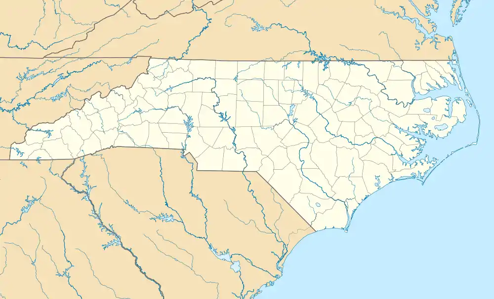 Hallsboro Location in North Carolina  Hallsboro Hallsboro (the United States) | |
| Coordinates: 34°19′21″N 78°35′56″W | |
| Country | United States |
| State | North Carolina |
| County | Columbus |
| Area | |
| • Total | 3.26 sq mi (8.45 km2) |
| • Land | 3.26 sq mi (8.45 km2) |
| • Water | 0 sq mi (0 km2) |
| Elevation | 66 ft (20 m) |
| Population (2010) | |
| • Total | 465 |
| • Density | 142/sq mi (55.0/km2) |
| Time zone | UTC-5 (Eastern (EST)) |
| • Summer (DST) | UTC-4 (EDT) |
| ZIP code | 28442 |
| Area code(s) | 910 |
| FIPS code | 37-29000 |
| GNIS feature ID | 986326[1] |
| [2] | |
Crime rates
Because there are no specific crime rates for the town of Hallsboro, the data was taken from Columbus County.
- County population: 58,098
- Total crimes: 3,076
- Murder: 8
- Rape: 11
- Robbery: 58
- Aggravated assault: 205
- Burglary: 991
- Theft: 1,603
- Motor vehicle thefts: 190
- Coverage indicator 98% [4]
Education
Hallsboro has an elementary school and middle school. For high school, students must travel to East Columbus High School at Lake Waccamaw, about 5 miles to the east. There are no libraries in Hallsboro; the closest is the Rube McCray Memorial Library 5.3 miles (8.5 km) away at Lake Waccamaw.[5]
Geography
Hallsboro is located in east-central Columbus County at 34°19′21″N 78°35′56″W (34.322391, -78.598902).[1] It lies 66 feet (20 m) above sea level. The town is in the Eastern Time Zone (EST/EDT) and observes daylight saving time.
According to the U.S. Census Bureau, the Hallsboro CDP has an area of 3.3 square miles (8.5 km2), all of it land.[3]
Surrounding communities include Lake Waccamaw 5 miles (8 km) to the east, Whiteville, the Columbus County seat, 6 miles (10 km) to the west, Bolton 11 miles (18 km) to the east, and Clarkton 13 miles (21 km) to the north.
Local parks and attractions
Lake Waccamaw State Park is located on the far side of Lake Waccamaw, 9 miles (14 km) southeast of Hallsboro.[6]
Notable people
- Ann Atwater, born in Hallsboro, became a civil rights activist in Durham, North Carolina, working especially with Operation Breakthrough
References
- U.S. Geological Survey Geographic Names Information System: Price, North Carolina. Retrieved on 2008-06-28.
- "Hallsboro NC". ZIP Code Lookup. Retrieved 2008-06-28.
- "Geographic Identifiers: 2010 Demographic Profile Data (G001): Hallsboro CDP, North Carolina". U.S. Census Bureau, American Factfinder. Archived from the original on February 12, 2020. Retrieved January 2, 2015.
- "Crime". Archived from the original on 2008-10-10. Retrieved 2008-06-30.
- Search for Public Libraries - Search Results
- Lake Waccamaw State Park. N.C. Division of Parks and Recreation. Retrieved on 2008-06-28.
Municipalities and communities of Columbus County, North Carolina, United States | ||
|---|---|---|
| City |  | |
| Towns | ||
| CDPs | ||
| Unincorporated communities | ||
| ||