Harlow, North Dakota
Harlow is an unincorporated community in Benson County, North Dakota, United States. It is located in Butte Valley Township along North Dakota Highway 30. Harlow is assigned Zip code 58346, which it shares with neighboring Leeds.[4]
Harlow, North Dakota | |
|---|---|
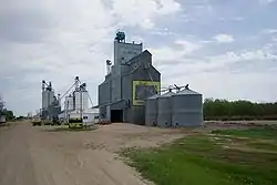 The grain elevator in Harlow | |
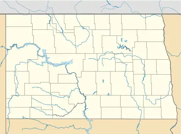 Location within the state of North Dakota | |
| Coordinates: 48°09′49″N 099°31′08″W | |
| Country | United States |
| State | North Dakota |
| County | Benson |
| Founded | 1912 |
| Elevation | 1,644 ft (501 m) |
| Time zone | UTC-6 (Central (CST)) |
| • Summer (DST) | UTC-5 (CDT) |
| ZIP Code | 58346 |
| Area code(s) | 701 |
| FIPS code[2][3] | 38-35460 |
| GNIS feature ID[1][3] | 1029319 |
History
Harlow was established in 1912 along the Soo Line Railroad. The post office was established in 1914 and was later assigned the zipcode 58340.[5] The post office closed in 1984.[5] The town's population was estimated as high as 100 during its development, but it never incorporated as a city.[6] Alternative suggestions for the origin of the town's name are either after an official with the railroad or after the Harlow Old Fort House in Plymouth, Massachusetts.[6]
The original homesteader was Louis Larsen Ulvestead in 1896.[6] Local resident Ole Ronning (1905-2005), lived on the homestead until moving to Devils Lake in 2000.[6][7] Ole and his wife, Alma, were known for publishing a comprehensive history of Harlow and the surrounding township in the 1960s.[7]
Geography
Harlow lies along North Dakota Highway 30 between the cities of York and Maddock.
Demographics
Butte Valley Township, in which Harlow is located, showed a population of 87 as of the 2000 Census.[8] As an unincorporated community, the United States Census Bureau does not track total population numbers for Harlow. However, according to census block data, Harlow includes blocks 1275, 1276, and 1282 through 1287 within census tract 9565, block group 1. These blocks had a combined population of 21 during the 2000 Census.[9]
Notable person
- Byron Knutson, member of the North Dakota House of Representatives (1959-1962); North Dakota Insurance Commissioner (1977-1980); North Dakota Labor Commissioner (1987-1990)
References
- "Harlow". Geographic Names Information System. United States Geological Survey. Retrieved January 22, 2013.
- "FIPS55 Data: North Dakota". FIPS55 Data. United States Geological Survey. February 23, 2006. Archived from the original (TXT) on June 18, 2006. External link in
|work=(help) - "US Board on Geographic Names". United States Geological Survey. 2007-10-25. Retrieved 2008-01-31.
- Zip Code Lookup
- U.S. Postal Service, Find a Postmaster
- Wick, Douglas A. North Dakota Place Names. Hedemarken Collectibles. p. 86. ISBN 0-9620968-0-6.
- Plum, Sara J. (June 8, 2005). "100-year-old to be feted at birthday party". Benson County News. Retrieved 2008-12-30.
- U.S. Census Bureau. Census 2000. "DP-1. Profile of General Demographic Characteristics, Butte Valley Township". American FactFinder. <http://factfinder.census.gov>. Retrieved 2009-01-31.
- "U.S. Census website". United States Census Bureau. Retrieved 2008-01-31.
Municipalities and communities of Benson County, North Dakota, United States | ||
|---|---|---|
| Cities |  Map of North Dakota highlighting Benson County | |
| Townships |
| |
| CDP | ||
| Unincorporated communities | ||
| Indian reservation | ||
| Footnotes | ‡This populated place also has portions in an adjacent county or counties | |
| ||
| Authority control |
|
|---|